Channel & Berth Profile
Pilotage, Tugs & Services
Pilotage compulsoryYES
Pilotage availableYES
Pilotage advisableYES
Tug assistanceYES
Salvage tugsNO
Potable waterYES
Diesel bunkersYES
MedicalYES
Facilities & Capabilities
Container—
Ro-Ro—
Liquid bulk—
Dry bulk—
Oil terminal—
Break bulk—
Dry dockNO
RepairsNO
BunkeringYES
Rail linkYES
Dangerous cargo—
ISPS security—
Harbour Specifications
Harbour size
Very Small
Harbour type
Coastal (Tide Gates)
Shelter
Fair
Water body
North Sea; North Atlantic Ocean
Tidal range
2 m
Overhead limit
Yes
Pilotage
Yes
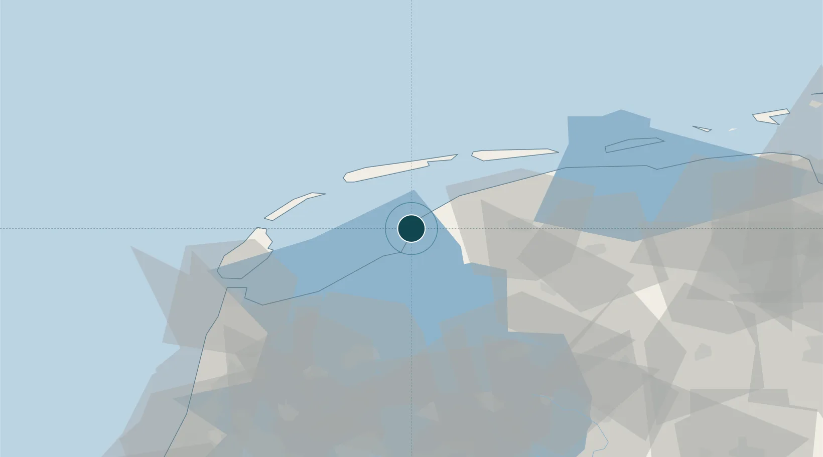
Location
Nearby Logistics Neighbours
Ports
- 1Den Helder49 km
- 2Zaandam92 km
- 3Amsterdam97 km
- 4Ijmuiden97 km
- 5Eemshaven99 km
Cities
- 1Pingjum8 km
- 2Leons8 km
- 3Welsrijp12 km
- 4Exmorrazijl13 km
- 5Burgwerd14 km
Airports
- 1Leeuwarden Air Base23 km
- 2De Kooy Airfield / Den Helder Naval Air Station51 km
- 3Groningen Airport Eelde78 km
- 4Lelystad Airport82 km
- 5Borkum Airport97 km
Trade Zones
DatabookThe Record of Consolidated Knowledge
Netherlands beyond logistics?