Transport Functions
Port
Road
Hub Profile
Place type
Populated place
Region
Friesland
Time zone
Europe/Amsterdam
Elevation
-1 m
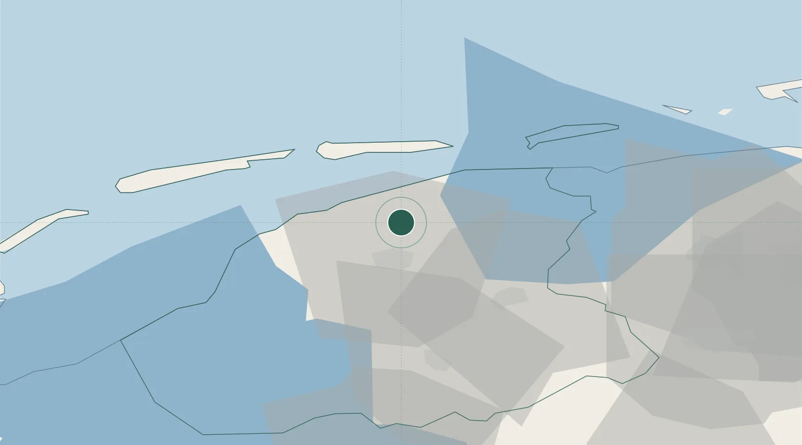
Location
Nearby Logistics Neighbours
Cities
- 1Birdaard4 km
- 2Britsum5 km
- 3Lekkum6 km
- 4Oude Leye8 km
- 5Oude Bildtzijl8 km
Ports
- 1Harlingen30 km
- 2Eemshaven69 km
- 3Delfzijl73 km
- 4Den Helder78 km
- 5Emden90 km
Airports
- 1Leeuwarden Air Base8 km
- 2Groningen Airport Eelde53 km
- 3Borkum Airport68 km
- 4De Kooy Airfield / Den Helder Naval Air Station81 km
- 5Juist Airport92 km
Trade Zones
DatabookThe Record of Consolidated Knowledge
Netherlands beyond logistics?