Seaport · Netherlands
EemshavenNLEEM
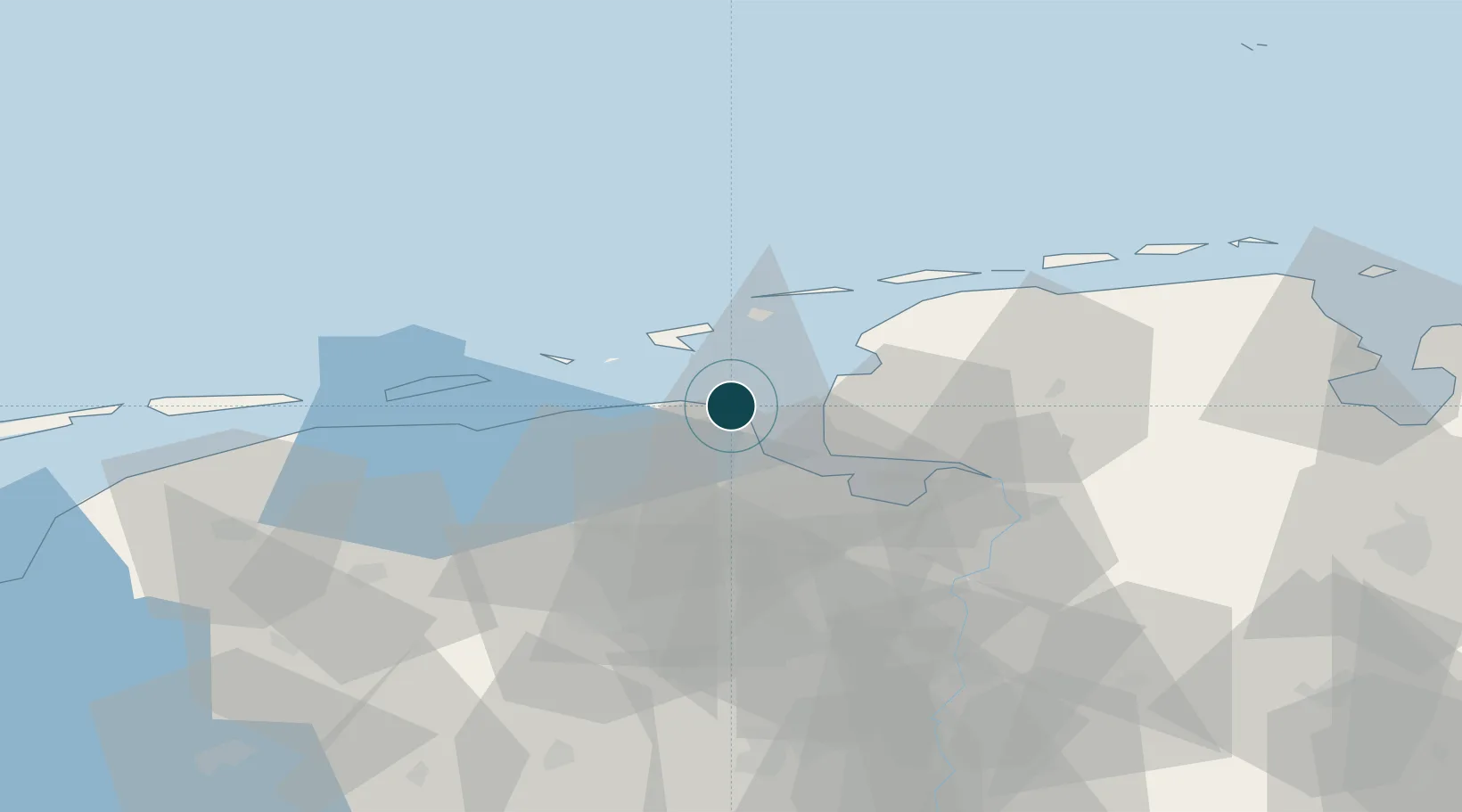
53.4500°, 6.8333°
7.9 m
Channel depth
14.0
Port liner connectivity
Channel & Berth Profile
Pilotage, Tugs & Services
Pilotage compulsoryYES
Tug assistanceYES
Potable waterYES
Garbage disposalYES
Facilities & Capabilities
Container—
Ro-Ro—
Liquid bulk—
Dry bulk—
Oil terminal—
Break bulk—
Dry dockNO
RepairsNO
BunkeringYES
Rail linkYES
Dangerous cargo—
ISPS security—
Harbour Specifications
Harbour size
Small
Harbour type
River (Basins)
Shelter
Fair
Water body
North Sea; North Atlantic Ocean
Tidal range
2 m
Pilotage
Yes
Liner Connectivity
14
PLSCI
Port Liner Shipping Connectivity Index for Eemshaven, as published by UNCTAD for the latest available quarter. Higher values indicate stronger scheduled liner-shipping integration.
Shown relative to the highest per-port PLSCI in the dataset (1,657.9).
Location
Nearby Logistics Neighbours
Ports
- 1Delfzijl15 km
- 2Emden27 km
- 3Leer48 km
- 4Papenburg53 km
- 5Wilhelmshaven89 km
Cities
- 1Doodstil12 km
- 2Appingedam15 km
- 3Kantens16 km
- 4Middelstum17 km
- 5Borkum19 km
Airports
- 1Borkum Airport18 km
- 2Emden Airport27 km
- 3Juist Airport30 km
- 4Norden-Norddeich Airport31 km
- 5Norderney Airport39 km
Trade Zones
DatabookThe Record of Consolidated Knowledge
Netherlands beyond logistics?