UN/LOCODE hub · Netherlands
NLVLI
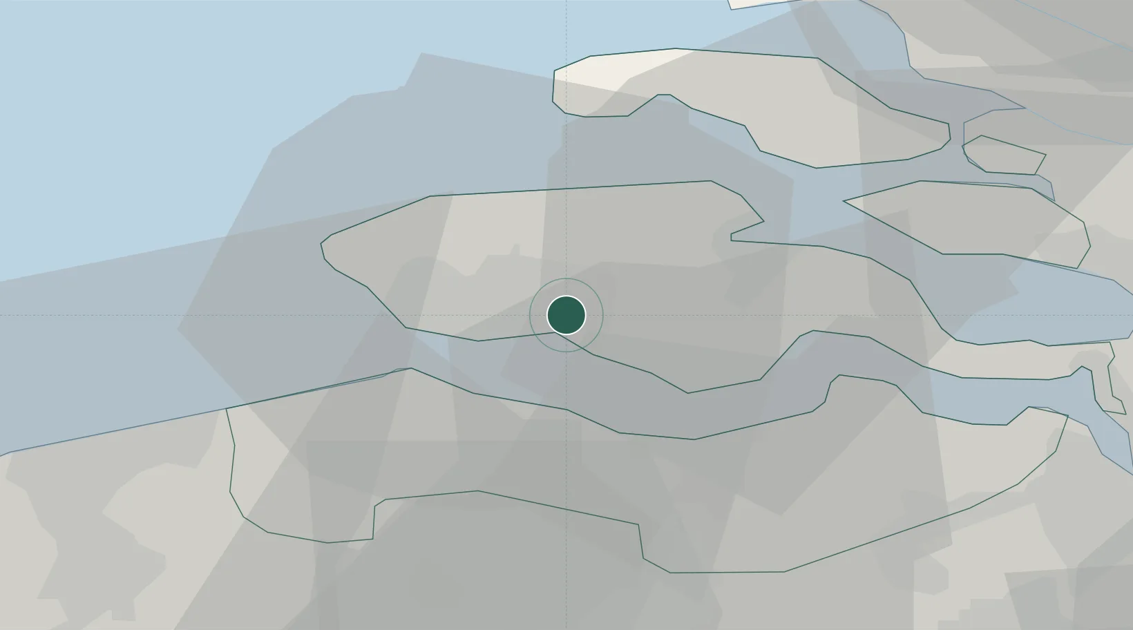
Vlissingen
51.4718°, 3.7014°
45,273
Population
3
Transport functions
2
Container terminals
Transport Functions
Port
Rail
Road
Hub Profile
Place type
Populated place
Region
Zeeland
Population
45,273
Time zone
Europe/Amsterdam
Elevation
5 m
Logistics facilities
3
Container terminals
2
Location
Nearby Logistics Neighbours
Cities
- 1Nieuwdorp3 km
- 2Borssele6 km
- 3Everingen9 km
- 4Veere9 km
- 5Oud-Sabbinge10 km
Airports
Trade Zones
- 1ZFU Tourcoing91 km
- 2ZFU Hem et Roubaix95 km
- 3ZFU de Lille et de Loos105 km
- 4ZFU Saint Pol sur Mer107 km
- 5ZFU Condé sur lEscaut112 km
DatabookThe Record of Consolidated Knowledge
Netherlands beyond logistics?