Medium airport · Belgium

Antwerp International Airport (Deurne)EBAW
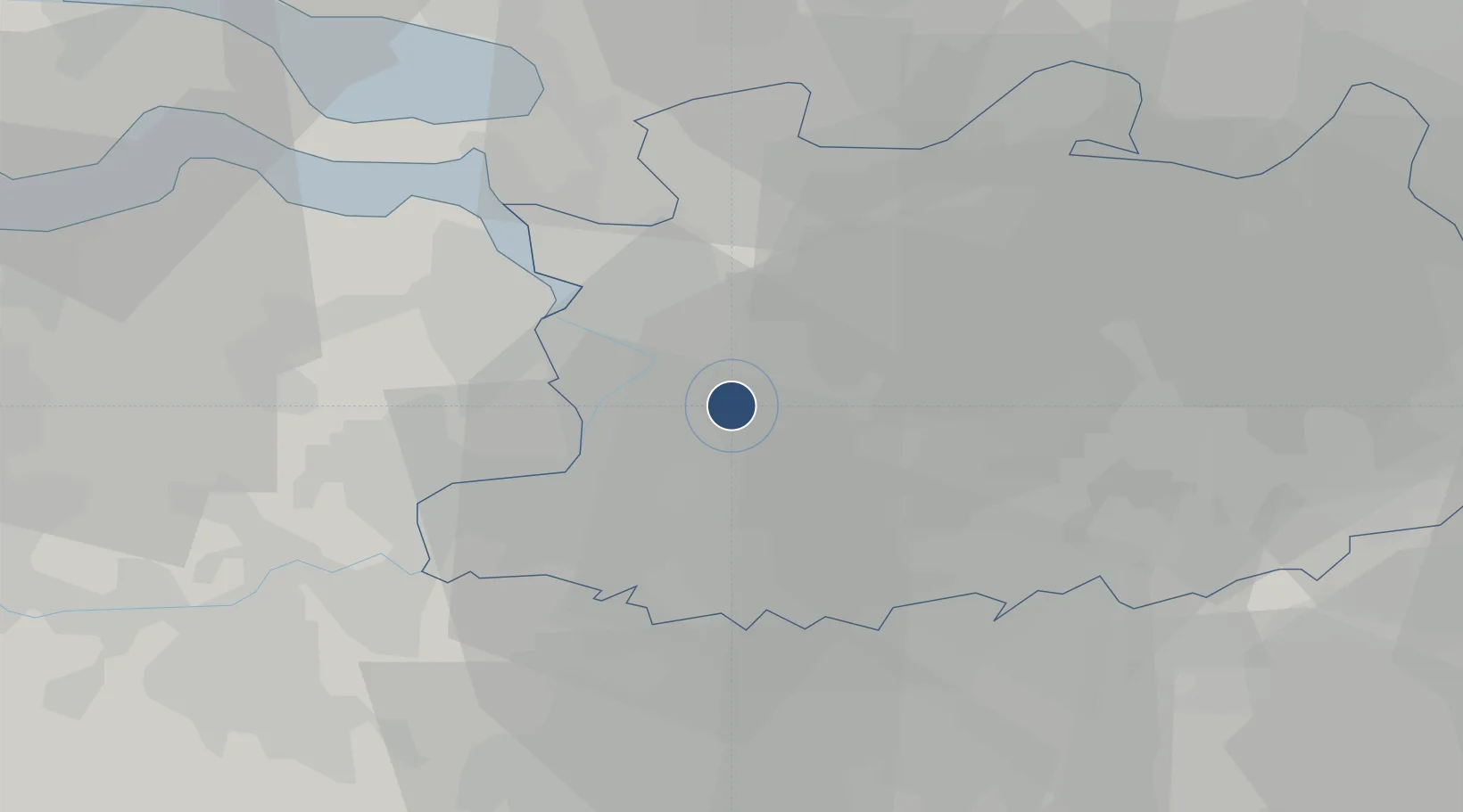
51.1907°, 4.4632°
4,954 ft
Longest runway
1
Runways
39 ft
Elevation

Runway & Layout

Antwerp International Airport (Deurne) runway & taxiway layout
Runway & taxiway layout — OpenStreetMap (ODbL) / OurAirports

Radio Frequencies

ATIS
124.205 MHz
TWR
135.205 MHz
ANTWERPEN TWR
GND
121.905 MHz
ANTWERPEN GND
APP
118.255 MHz
BRUSSELS APP
OurAirports

Navaids

ANT VOR-DME Antwerpen 113.50 MHz
NIK VOR-DME Nicky 117.40 MHz
ONW NDB Antwerpen 355 kHz
OurAirports

Runways · 1

RunwayDimensions SurfaceTrue headingLit
11/29 4,954 × 148ft Asphalt 110°
OurAirports

Airport Specifications

IATA code
ANR
OurAirports
ICAO code
EBAW
OurAirports
Airport class
Medium airport
OurAirports
Scheduled service
Yes
OurAirports
Runway surface
Asphalt
OurAirports
Served city
Antwerp
OurAirports

Location

Location of EBAW
Natural Earth 10m (public domain) · Antwerp · EBAW · 51.19, 4.46GoogleOSMYandex

Nearby Logistics Neighbours

Airports
  1. 1Woensdrecht Air Base30 km
  2. 2Brussels Airport32 km
  3. 3Beauvechain Air Base53 km
  4. 4Gilze Rijen Air Base53 km
  5. 5Eindhoven Airport70 km
Nearest neighbours — logibook spatial index (haversine) over the source coordinates
Cities
  1. 1Deurne3 km
  2. 2Boechout4 km
  3. 3Merksem7 km
  4. 4Wijnegem7 km
  5. 5Schoten7 km
Nearest neighbours — logibook spatial index (haversine) over the source coordinates
Ports
  1. 1Antwerpen5 km
  2. 2Bruxelles37 km
  3. 3Hansweert43 km
  4. 4Terneuzen48 km
  5. 5Ghent53 km
Nearest neighbours — logibook spatial index (haversine) over the source coordinates
Trade Zones
  1. 1ZFU Condé sur lEscaut102 km
  2. 2ZFU Tourcoing105 km
  3. 3ZFU Hem et Roubaix107 km
  4. 4ZFU Maubeuge, Louvroil110 km
  5. 5ZFU de Lille et de Loos119 km
Nearest neighbours — logibook spatial index (haversine) over the source coordinates
DatabookThe Record of Consolidated Knowledge
Belgium beyond logistics?
Browse databook

All Sources

AirportsOurAirports
Public domain
Portsthe NGA World Port Index
Public domain (US gov)
LocationsUN/LOCODE
UN/LOCODE — free
Trade Zonesthe World Bank SEZ database
CC BY 4.0
Trade ZonesOpen Zone Map
CC BY
InfrastructureOpenStreetMap
ODbL 1.0
← Belgium airports