Large airport · Netherlands
Rotterdam The Hague AirportEHRD
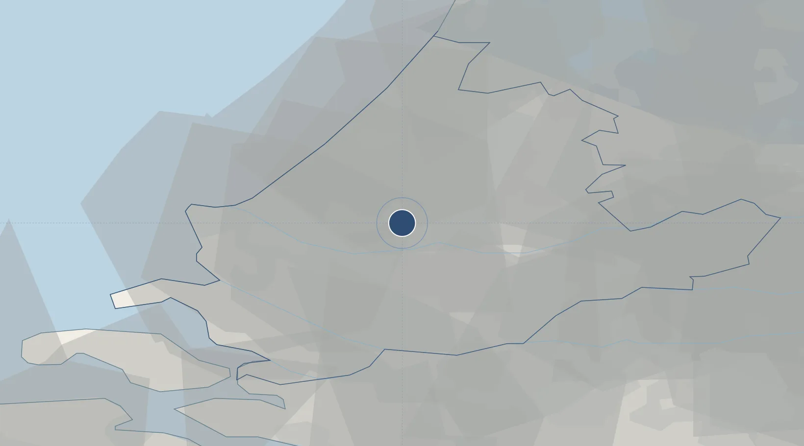
51.9569°, 4.4372°
7,218 ft
Longest runway
1
Runways
-15 ft
Elevation
Runway & Layout

Radio Frequencies
ATIS
128.565 MHz
TWR
118.205 MHz
Rotterdam Tower
APP
122.99 MHz
Rotterdam Approach
DEP
121.205 MHz
Schiphol Departure
ARR
118.405 MHz
Schiphol Arrival
FIS
124.3 MHz
Amsterdam Information
GND/CDL
122.18 MHz
Rotterdam Clearance Delivery
Navaids
ROT NDB Rotterdam 351 kHz
RTM VOR-DME Rotterdam 110.40 MHz
Runways · 1
| Runway | Dimensions | Surface | True heading | Lit |
|---|---|---|---|---|
| 06/24 | 7,218 × 148ft | Asphalt | 056° | ✓ |
Airport Specifications
IATA code
RTM
ICAO code
EHRD
Airport class
Large airport
Scheduled service
Yes
Runway surface
Asphalt
Served city
Rotterdam
Location
Nearby Logistics Neighbours
Airports
Cities
- 1Berkel en Rodenrijs4 km
- 2Pernis9 km
- 3Poortugaal10 km
- 4Groeneweg12 km
- 5Rotterdam12 km
Ports
- 1Schiedam7 km
- 2Rotterdam7 km
- 3Vlaardingen9 km
- 4Maassluis14 km
- 5Scheveningen20 km
Trade Zones
- 1Freeport of Duisburg159 km
- 2ZFU Tourcoing163 km
- 3ZFU Hem et Roubaix166 km
- 4ZFU Condé sur lEscaut176 km
- 5ZFU de Lille et de Loos178 km
DatabookThe Record of Consolidated Knowledge
Netherlands beyond logistics?