Transport Functions
Port
Road
Hub Profile
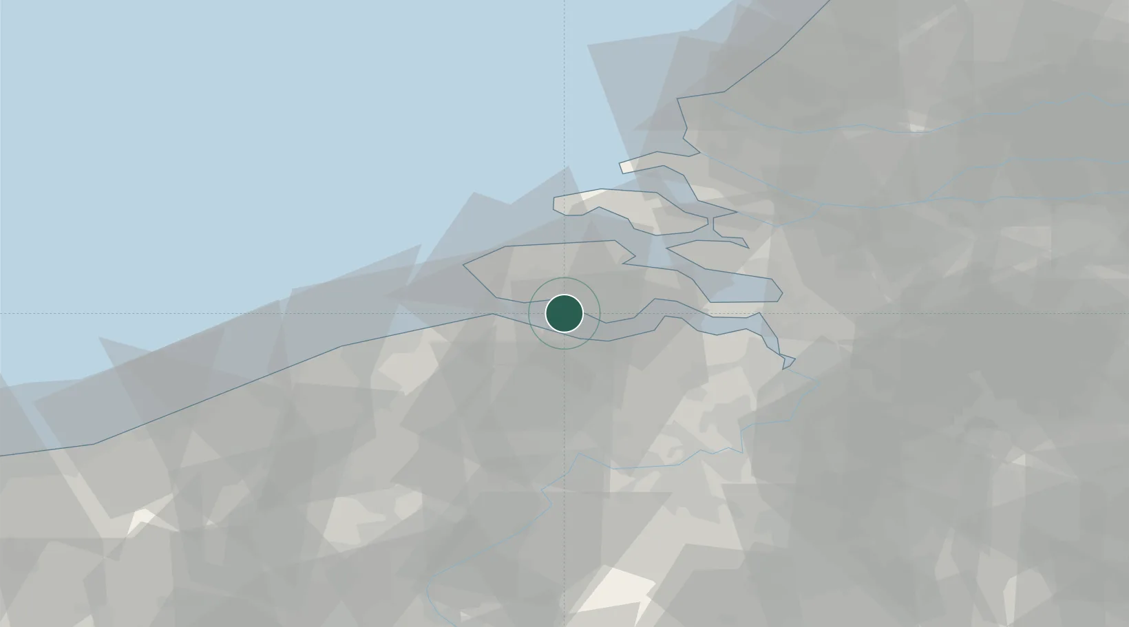
Place type
Populated place
Region
Zeeland
Population
22,285
Time zone
Europe/Amsterdam
Elevation
5 m
Location
Nearby Logistics Neighbours
Cities
- 1Everingen3 km
- 2Nieuwdorp3 km
- 3Vlissingen6 km
- 4Hoofdplaat7 km
- 5Terneuzen9 km
Ports
- 1Vlissingen9 km
- 2Terneuzen10 km
- 3Hansweert20 km
- 4Zeebrugge37 km
- 5Ghent39 km
Airports
Trade Zones
- 1ZFU Tourcoing86 km
- 2ZFU Hem et Roubaix90 km
- 3ZFU de Lille et de Loos100 km
- 4ZFU Saint Pol sur Mer105 km
- 5ZFU Condé sur lEscaut106 km
DatabookThe Record of Consolidated Knowledge
Netherlands beyond logistics?