Transport Functions
Port
Hub Profile
Place type
Populated place
Region
Zeeland
Population
500
Time zone
Europe/Amsterdam
Elevation
4 m
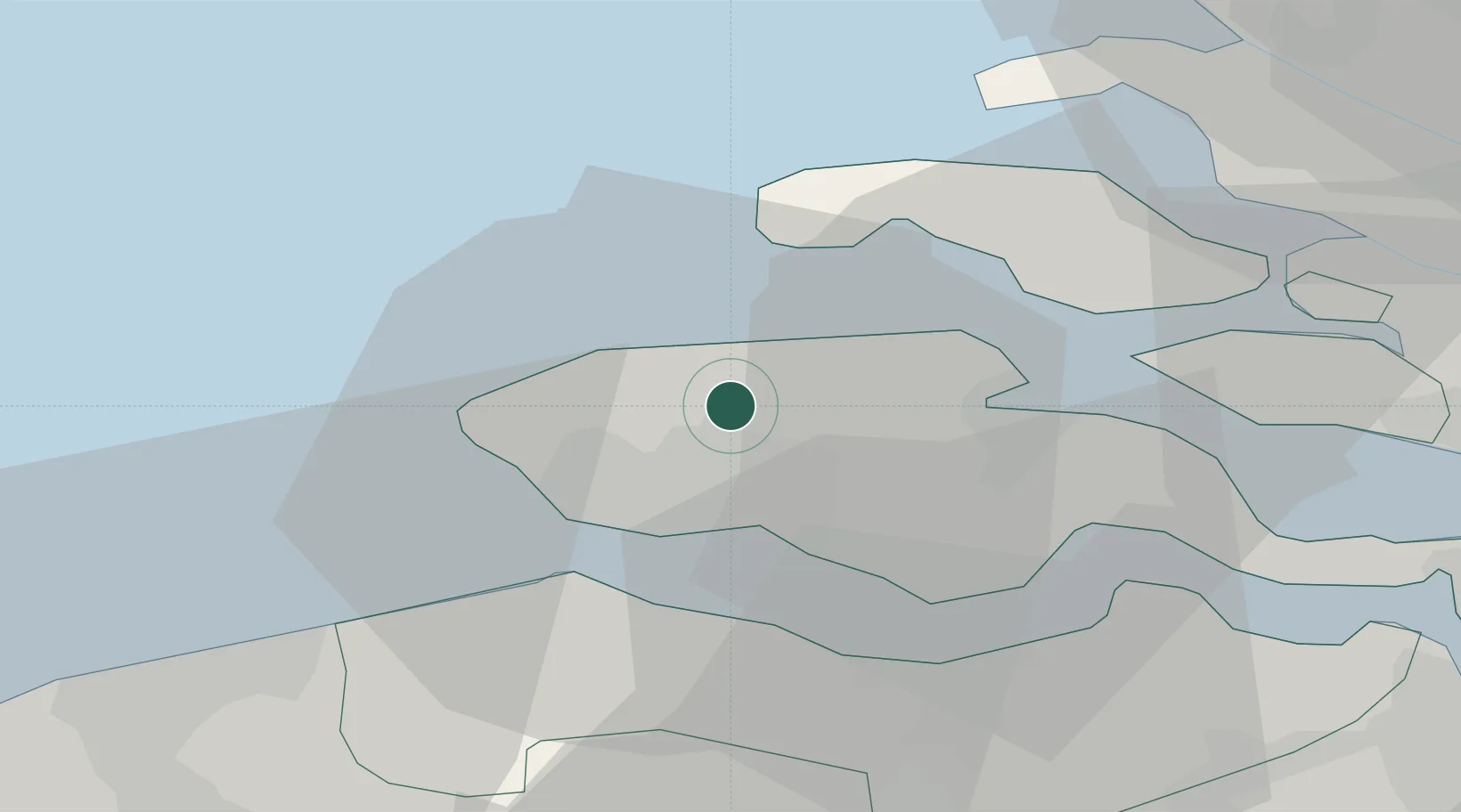
Location
Nearby Logistics Neighbours
Cities
- 1Vlissingen9 km
- 2Oud-Sabbinge9 km
- 3Domburg12 km
- 4Nieuwdorp12 km
- 5Valkenisse13 km
Ports
- 1Vlissingen12 km
- 2Terneuzen25 km
- 3Hansweert26 km
- 4Zeebrugge40 km
- 5Bruges47 km
Airports
Trade Zones
- 1ZFU Tourcoing99 km
- 2ZFU Hem et Roubaix102 km
- 3ZFU Saint Pol sur Mer109 km
- 4ZFU de Lille et de Loos112 km
- 5ZFU Condé sur lEscaut121 km
DatabookThe Record of Consolidated Knowledge
Netherlands beyond logistics?