Transport Functions
Port
Road
Hub Profile
Place type
Populated place
Region
Zeeland
Time zone
Europe/Amsterdam
Elevation
2 m
Logistics facilities
2
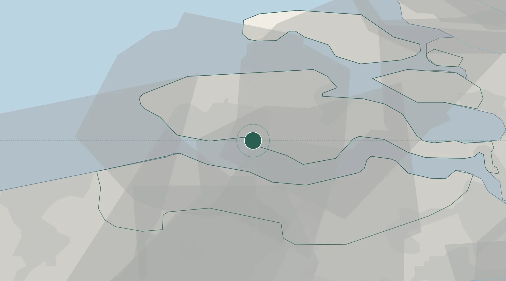
Location
Nearby Logistics Neighbours
Cities
- 1Vlissingen3 km
- 2Borssele3 km
- 3Everingen6 km
- 4Hoofdplaat10 km
- 5Oud-Sabbinge12 km
Ports
- 1Vlissingen8 km
- 2Terneuzen13 km
- 3Hansweert20 km
- 4Zeebrugge38 km
- 5Bruges42 km
Airports
Trade Zones
- 1ZFU Tourcoing89 km
- 2ZFU Hem et Roubaix92 km
- 3ZFU de Lille et de Loos103 km
- 4ZFU Saint Pol sur Mer106 km
- 5ZFU Condé sur lEscaut109 km
DatabookThe Record of Consolidated Knowledge
Netherlands beyond logistics?