Transport Functions
Port
Road
Hub Profile
Place type
Populated place
Region
Zeeland
Population
295
Time zone
Europe/Amsterdam
Elevation
0 m
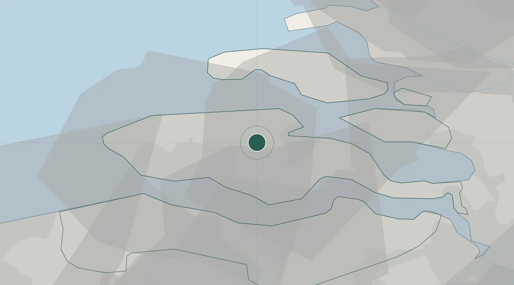
Location
Nearby Logistics Neighbours
Cities
- 1Kats6 km
- 2Wilhelminadorp7 km
- 3Veere9 km
- 4Vlissingen10 km
- 5Nieuwdorp12 km
Ports
- 1Vlissingen17 km
- 2Hansweert17 km
- 3Terneuzen20 km
- 4Zeebrugge47 km
- 5Europoort51 km
Airports
Trade Zones
- 1ZFU Tourcoing101 km
- 2ZFU Hem et Roubaix104 km
- 3ZFU de Lille et de Loos114 km
- 4ZFU Saint Pol sur Mer116 km
- 5ZFU Condé sur lEscaut120 km
DatabookThe Record of Consolidated Knowledge
Netherlands beyond logistics?