Channel & Berth Profile
Pilotage, Tugs & Services
Pilotage availableYES
Tug assistanceYES
Potable waterYES
Diesel bunkersYES
Facilities & Capabilities
Container—
Ro-Ro—
Liquid bulk—
Dry bulk—
Oil terminal—
Break bulk—
Dry dock—
Repairs—
BunkeringYES
Rail linkYES
Dangerous cargo—
ISPS security—
Harbour Specifications
Harbour size
Very Small
Harbour type
Coastal (Tide Gates)
Shelter
Fair
Water body
North Sea; North Atlantic Ocean
Tidal range
3 m
Overhead limit
Yes
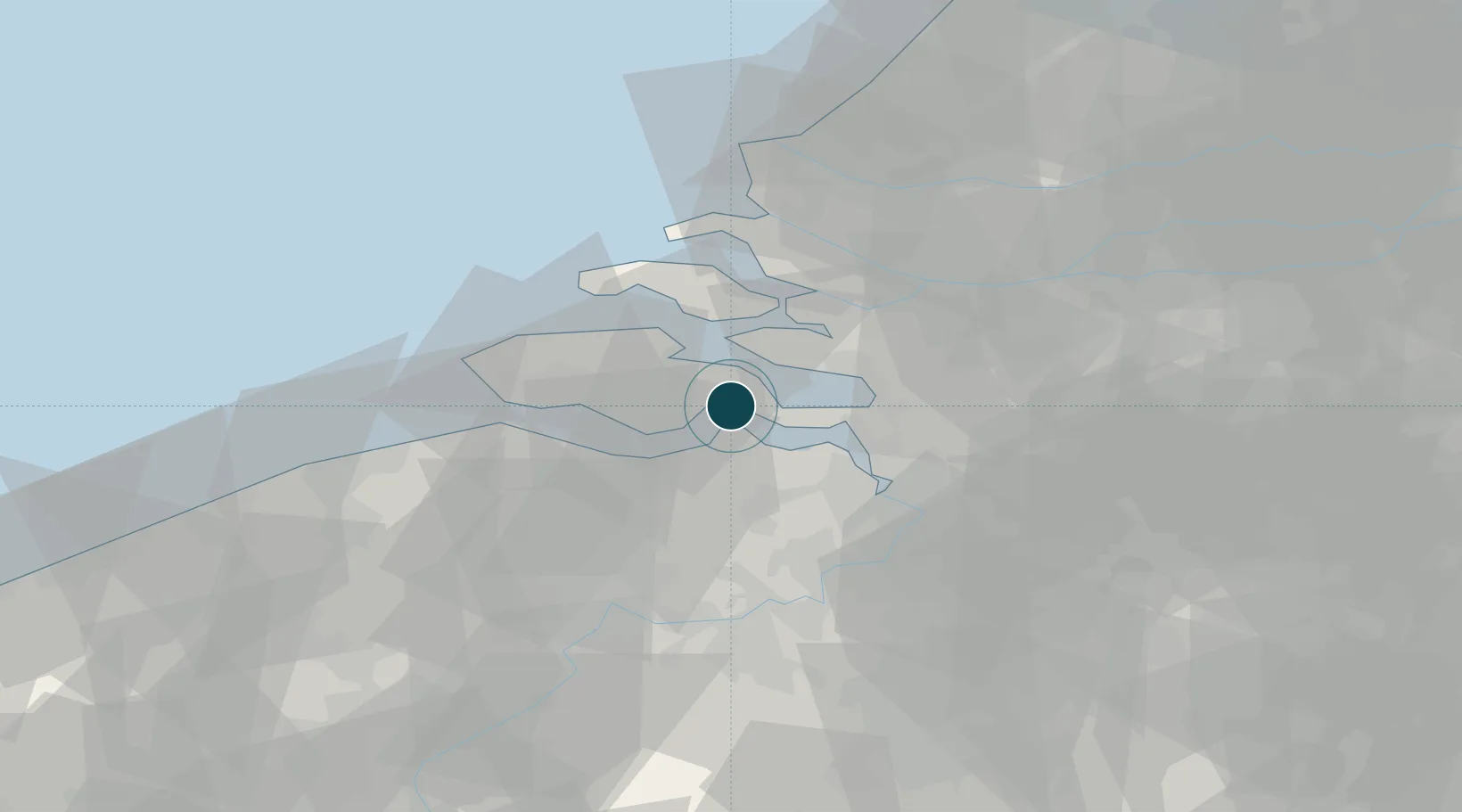
Location
Nearby Logistics Neighbours
Ports
- 1Terneuzen17 km
- 2Vlissingen28 km
- 3Antwerpen38 km
- 4Ghent47 km
- 5Maassluis55 km
Cities
- 1Waarde5 km
- 2S Heer Arendskerke6 km
- 3's-Gravenpolder7 km
- 4Walsoorden8 km
- 5Krabbendijke8 km
Airports
Trade Zones
- 1ZFU Tourcoing100 km
- 2ZFU Hem et Roubaix103 km
- 3ZFU Condé sur lEscaut113 km
- 4ZFU de Lille et de Loos114 km
- 5ZFU Saint Pol sur Mer125 km
DatabookThe Record of Consolidated Knowledge
Netherlands beyond logistics?