UN/LOCODE hub · Netherlands
NLANK

Everingen

51.4000°, 3.7500°
1
Transport functions

Transport Functions

Port
UN/LOCODE

Hub Profile

Region
ZE
GeoNames

Location

Location of NLANK
Natural Earth 10m (public domain) · ZE · NLANK · 51.40, 3.75GoogleOSMYandex

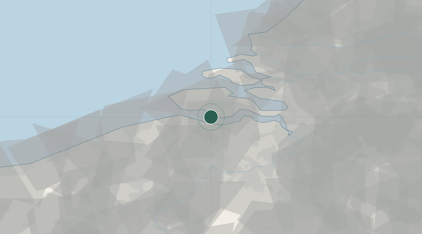
Nearby Logistics Neighbours

Cities
  1. 1Borssele3 km
  2. 2Nieuwdorp6 km
  3. 3Terneuzen7 km
  4. 4Hoofdplaat8 km
  5. 5Baarland8 km
Nearest neighbours — logibook spatial index (haversine) over the source coordinates
Ports
  1. 1Terneuzen7 km
  2. 2Vlissingen12 km
  3. 3Hansweert18 km
  4. 4Ghent37 km
  5. 5Zeebrugge39 km
Nearest neighbours — logibook spatial index (haversine) over the source coordinates
Airports
  1. 1Woensdrecht Air Base41 km
  2. 2Antwerp International Airport (Deurne)55 km
  3. 3Ostend-Bruges International Airport65 km
  4. 4Flanders International Airport Kortrijk-Wevelgem75 km
  5. 5Brussels Airport76 km
Nearest neighbours — logibook spatial index (haversine) over the source coordinates
Trade Zones
  1. 1ZFU Tourcoing86 km
  2. 2ZFU Hem et Roubaix89 km
  3. 3ZFU de Lille et de Loos100 km
  4. 4ZFU Condé sur lEscaut105 km
  5. 5ZFU Saint Pol sur Mer107 km
Nearest neighbours — logibook spatial index (haversine) over the source coordinates
DatabookThe Record of Consolidated Knowledge
Netherlands beyond logistics?
Browse databook

All Sources

LocationsUN/LOCODE
UN/LOCODE — free
Portsthe NGA World Port Index
Public domain (US gov)
AirportsOurAirports
Public domain
Trade Zonesthe World Bank SEZ database
CC BY 4.0
Trade ZonesOpen Zone Map
CC BY
← Netherlands locations