Transport Functions
Rail
Road
Hub Profile
Place type
Populated place
Region
Gelderland
Population
40,702
Time zone
Europe/Amsterdam
Elevation
8 m
Logistics facilities
1
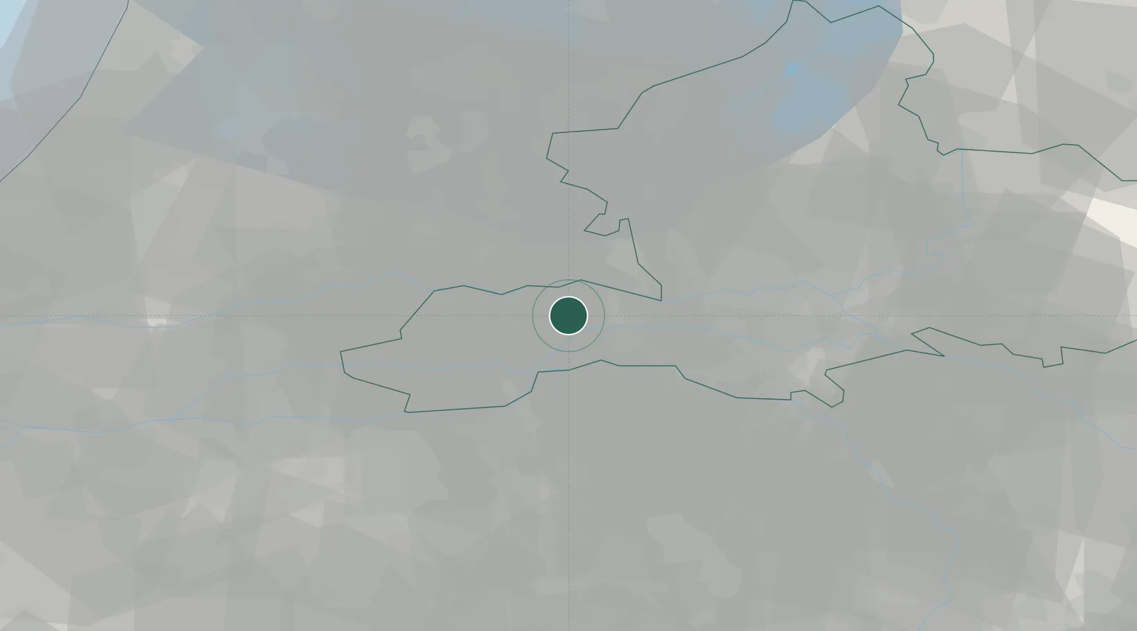
Location
Nearby Logistics Neighbours
Cities
- 1Ommeren3 km
- 2Kapel-Avezaath6 km
- 3Aalst7 km
- 4Dreumel8 km
- 5Neder-Betuwe9 km
Airports
- 1Deelen Air Base34 km
- 2Volkel Air Base35 km
- 3Eindhoven Airport52 km
- 4Gilze Rijen Air Base53 km
- 5Lelystad Airport60 km
Trade Zones
- 1Freeport of Duisburg95 km
- 2Rheinische Revier SWZ130 km
- 3Freeport of Emden197 km
- 4ZFU Tourcoing207 km
- 5ZFU Condé sur lEscaut207 km
DatabookThe Record of Consolidated Knowledge
Netherlands beyond logistics?