Large airport · Netherlands
Eindhoven AirportEHEH
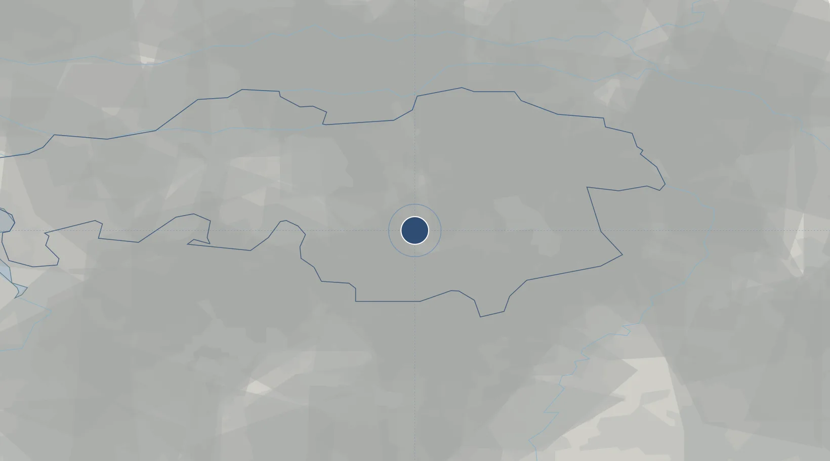
51.4501°, 5.3745°
9,843 ft
Longest runway
1
Runways
74 ft
Elevation
Runway & Layout

Radio Frequencies
ATIS
126.03 MHz
Eindhoven Information ATIS
TWR
131.005 MHz
Eindhoven Tower
GND
121.93 MHz
Eindhoven Ground
APP
123.18 MHz
RAPCON South Approach
ARR
124.53 MHz
Eindhoven Arrival
CENTER
125.93 MHz
Dutch Military Center
FIS
132.35 MHz
Dutch MIL Info
Navaids
EHN NDB Eindhoven 397 kHz
EHV TACAN Eindhoven 117.20 MHz
Runways · 1
| Runway | Dimensions | Surface | True heading | Lit |
|---|---|---|---|---|
| 03/21 | 9,843 × 148ft | Asphalt | 031° | ✓ |
Airport Specifications
IATA code
EIN
ICAO code
EHEH
Airport class
Large airport
Scheduled service
Yes
Runway surface
Asphalt
Served city
Eindhoven
Location
Nearby Logistics Neighbours
Airports
- 1Kempen Airport Budel27 km
- 2Kleine Brogel Air Base32 km
- 3Volkel Air Base33 km
- 4Gilze Rijen Air Base33 km
- 5Weeze (Niederrhein) Airport56 km
Cities
- 1Eindhoven4 km
- 2Best6 km
- 3Ekkersrijt9 km
- 4Son10 km
- 5Haghorst12 km
Ports
- 1Dordrecht65 km
- 2Antwerpen73 km
- 3Rotterdam79 km
- 4Schiedam84 km
- 5Vlaardingen87 km
Trade Zones
- 1Freeport of Duisburg84 km
- 2Rheinische Revier SWZ92 km
- 3ZFU Maubeuge, Louvroil167 km
- 4ZFU Condé sur lEscaut167 km
- 5ZFU Tourcoing175 km
DatabookThe Record of Consolidated Knowledge
Netherlands beyond logistics?