Transport Functions
Port
Road
Hub Profile
Place type
Populated place
Region
Gelderland
Time zone
Europe/Amsterdam
Elevation
7 m
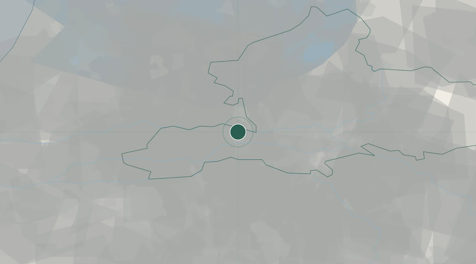
Location
Nearby Logistics Neighbours
Cities
- 1Neder-Betuwe3 km
- 2Ommeren4 km
- 3Amerongen7 km
- 4Tiel7 km
- 5Dodewaard9 km
Airports
- 1Deelen Air Base26 km
- 2Volkel Air Base35 km
- 3Lelystad Airport56 km
- 4Eindhoven Airport57 km
- 5Weeze (Niederrhein) Airport57 km
Trade Zones
- 1Freeport of Duisburg92 km
- 2Rheinische Revier SWZ130 km
- 3Freeport of Emden190 km
- 4ZFU Tourcoing214 km
- 5ZFU Condé sur lEscaut214 km
DatabookThe Record of Consolidated Knowledge
Netherlands beyond logistics?