Transport Functions
Port
Road
Hub Profile
Place type
Populated place
Region
Gelderland
Time zone
Europe/Amsterdam
Elevation
7 m
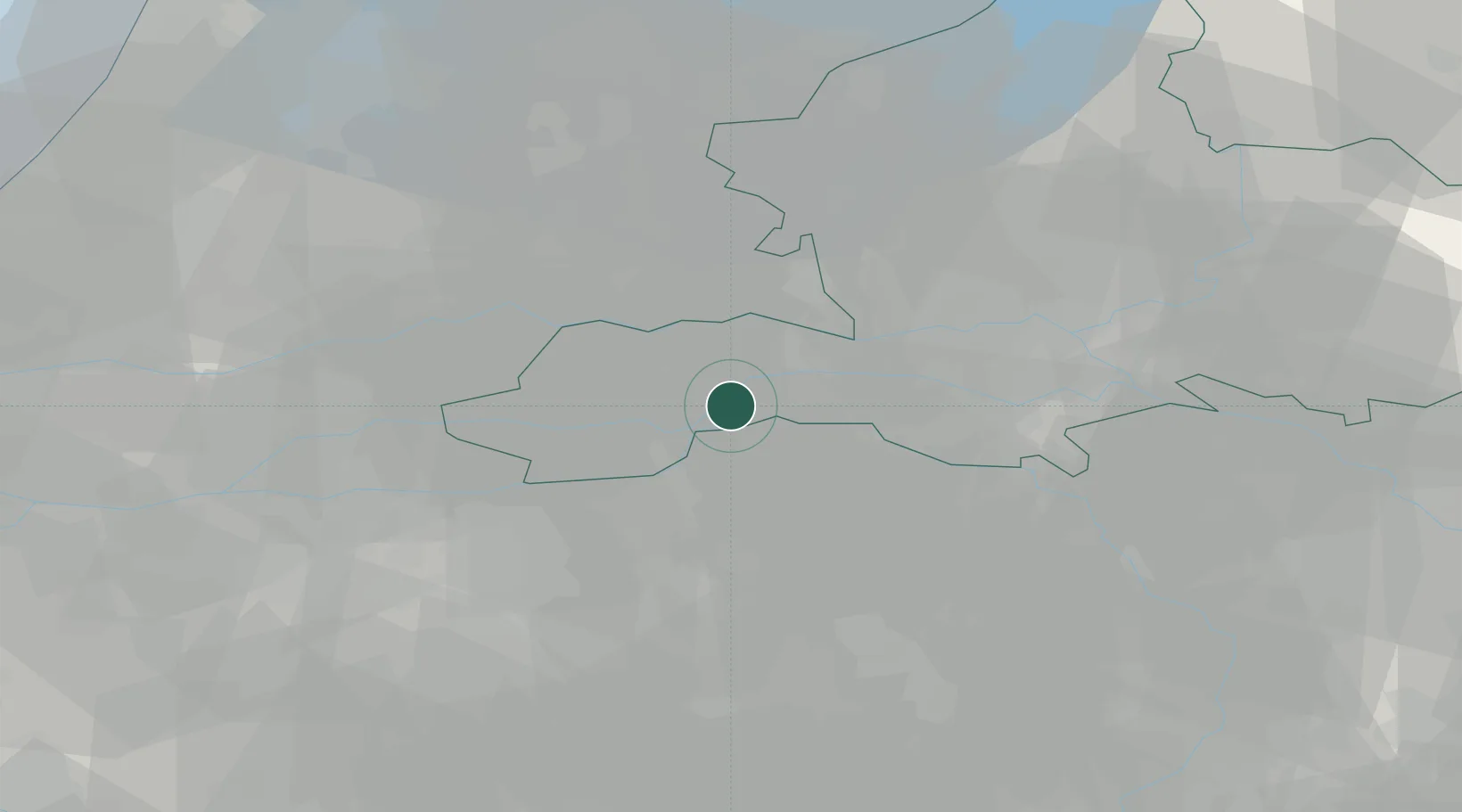
Location
Nearby Logistics Neighbours
Cities
- 1Kapel-Avezaath5 km
- 2Maren-Kessel6 km
- 3Lithoijen6 km
- 4Tiel8 km
- 5Sint Andries8 km
Ports
- 1Dordrecht54 km
- 2Rotterdam66 km
- 3Amsterdam68 km
- 4Schiedam71 km
- 5Vlaardingen75 km
Airports
- 1Volkel Air Base29 km
- 2Deelen Air Base38 km
- 3Eindhoven Airport45 km
- 4Gilze Rijen Air Base47 km
- 5Weeze (Niederrhein) Airport56 km
Trade Zones
- 1Freeport of Duisburg91 km
- 2Rheinische Revier SWZ124 km
- 3ZFU Condé sur lEscaut201 km
- 4ZFU Tourcoing202 km
- 5Freeport of Emden203 km
DatabookThe Record of Consolidated Knowledge
Netherlands beyond logistics?