Transport Functions
Rail
Road
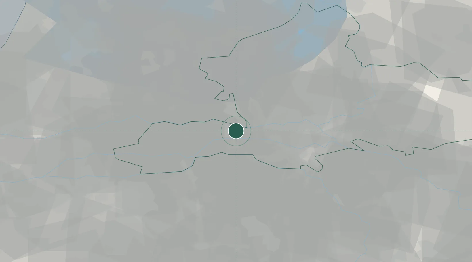
Location
Nearby Logistics Neighbours
Airports
- 1Deelen Air Base25 km
- 2Volkel Air Base32 km
- 3Weeze (Niederrhein) Airport54 km
- 4Eindhoven Airport55 km
- 5Lelystad Airport58 km
Trade Zones
- 1Freeport of Duisburg89 km
- 2Rheinische Revier SWZ127 km
- 3Freeport of Emden191 km
- 4ZFU Condé sur lEscaut214 km
- 5ZFU Tourcoing215 km
DatabookThe Record of Consolidated Knowledge
Netherlands beyond logistics?