Medium airport · Netherlands
Gilze Rijen Air BaseEHGR
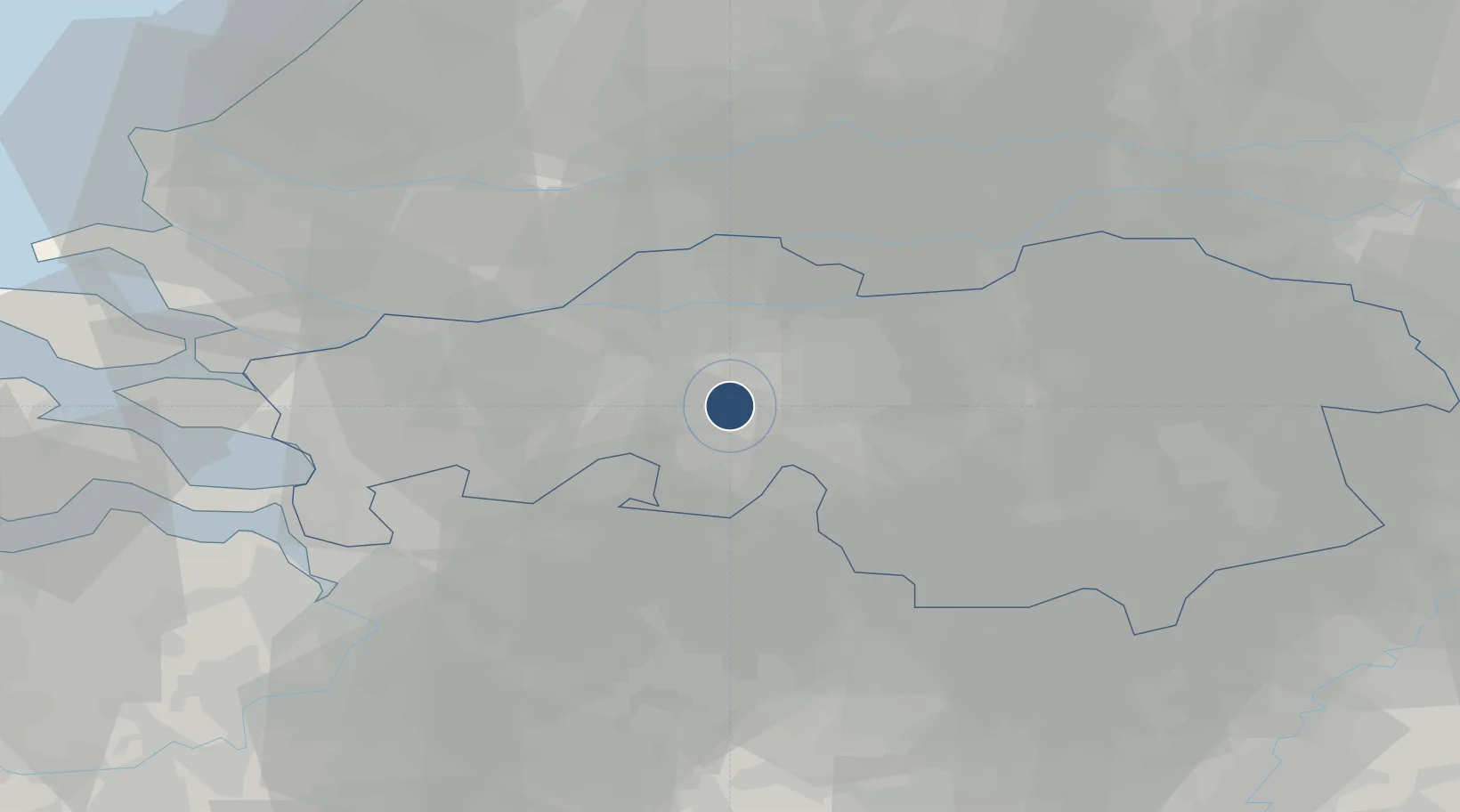
51.5674°, 4.9318°
9,081 ft
Longest runway
2
Runways
49 ft
Elevation
Runway & Layout

Radio Frequencies
TWR
125.33 MHz
Gilze-Rijen Tower
GND
121.68 MHz
Gilze-Rijen Ground
APP
123.58 MHz
RAPCON West Approach
ARR
123.58 MHz
Gilze Arrival
CENTER
125.93 MHz
Dutch Military Center
FIS
132.35 MHz
Dutch MIL Info
Navaids
GZR TACAN Gilze Rijen 116.40 MHz
Runways · 2
| Runway | Dimensions | Surface | True heading | Lit |
|---|---|---|---|---|
| 10/28 | 9,081 × 148ft | Asphalt | 098° | ✓ |
| 02/20 | 6,549 × 98ft | Asphalt | 016° | ✓ |
Airport Specifications
IATA code
GLZ
ICAO code
EHGR
Airport class
Medium airport
Scheduled service
No
Runway surface
Asphalt
Served city
Rijen
Location
Nearby Logistics Neighbours
Airports
- 1Eindhoven Airport33 km
- 2Woensdrecht Air Base43 km
- 3Antwerp International Airport (Deurne)53 km
- 4Volkel Air Base55 km
- 5Rotterdam The Hague Airport55 km
Cities
- 1Oosteind8 km
- 2Ried8 km
- 3Teteringen9 km
- 4Chaam9 km
- 5Breda9 km
Ports
- 1Dordrecht34 km
- 2Rotterdam48 km
- 3Schiedam52 km
- 4Antwerpen54 km
- 5Vlaardingen55 km
Trade Zones
- 1Freeport of Duisburg115 km
- 2Rheinische Revier SWZ125 km
- 3ZFU Condé sur lEscaut155 km
- 4ZFU Tourcoing155 km
- 5ZFU Hem et Roubaix157 km
DatabookThe Record of Consolidated Knowledge
Netherlands beyond logistics?