Channel & Berth Profile
Pilotage, Tugs & Services
Pilotage compulsoryYES
Pilotage availableYES
Pilotage advisableYES
Tug assistanceYES
Potable waterYES
Diesel bunkersYES
MedicalYES
Facilities & Capabilities
Container—
Ro-Ro—
Liquid bulk—
Dry bulk—
Oil terminal—
Break bulk—
Dry dockNO
RepairsNO
BunkeringYES
Rail linkYES
Dangerous cargo—
ISPS security—
Harbour Specifications
Harbour size
Very Small
Harbour type
River (Basins)
Shelter
Good
Water body
North Sea; North Atlantic Ocean
Tidal range
2 m
Pilotage
Yes
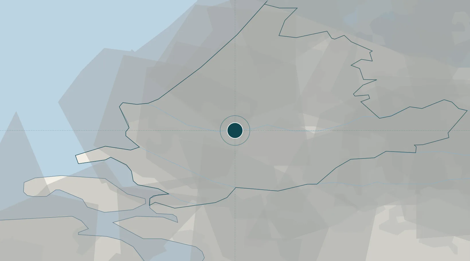
Location
Nearby Logistics Neighbours
Ports
- 1Vlaardingen3 km
- 2Rotterdam6 km
- 3Maassluis11 km
- 4Hoek Van Holland19 km
- 5Dordrecht20 km
Cities
- 1Pernis2 km
- 2Poortugaal4 km
- 3Albrandswaard6 km
- 4Vondelingenplaat7 km
- 5Rotterdam7 km
Airports
Trade Zones
- 1ZFU Tourcoing157 km
- 2Freeport of Duisburg159 km
- 3ZFU Hem et Roubaix160 km
- 4ZFU Condé sur lEscaut170 km
- 5ZFU de Lille et de Loos171 km
DatabookThe Record of Consolidated Knowledge
Netherlands beyond logistics?