UN/LOCODE hub · Netherlands
NLKAV
Kapel-Avezaath
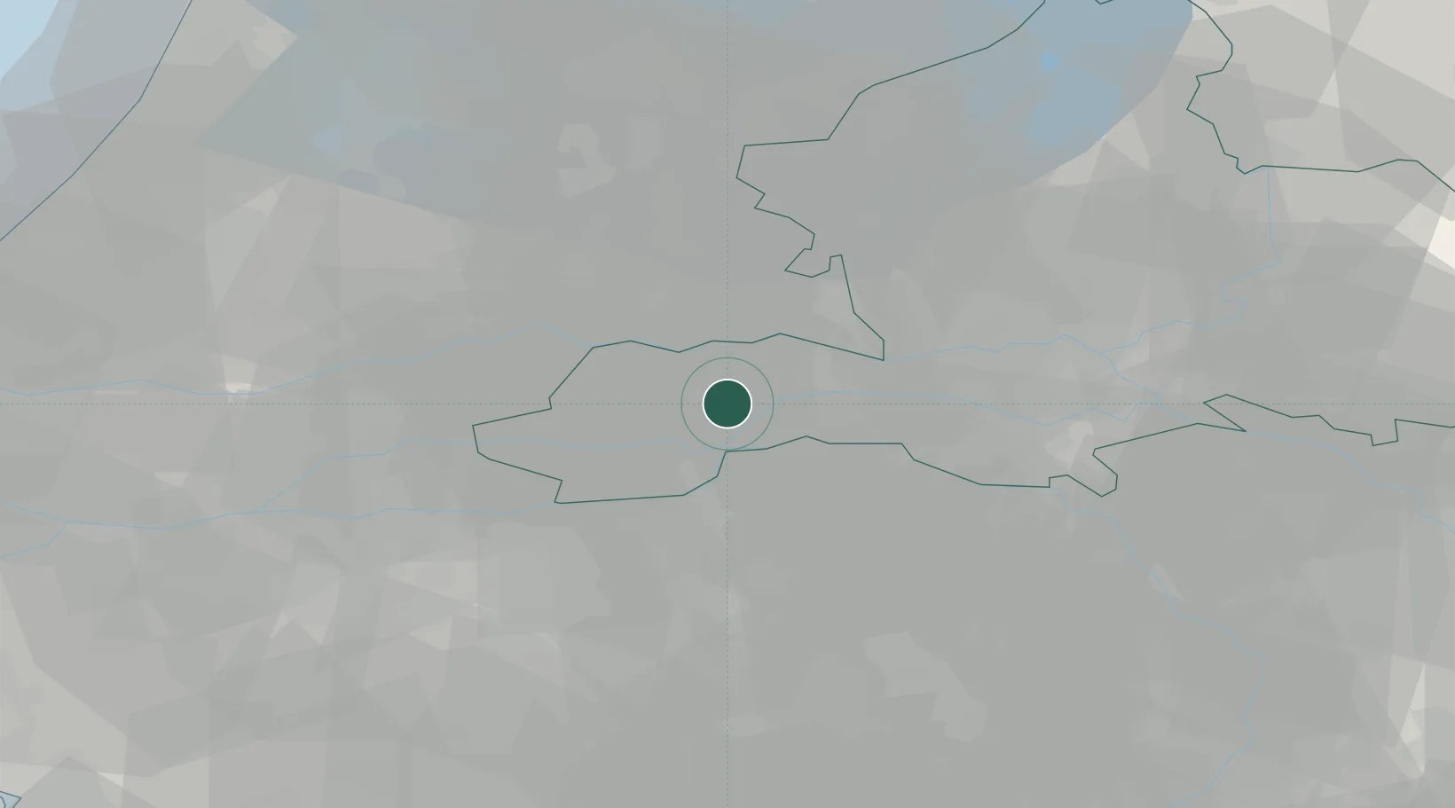
51.8833°, 5.3833°
465
Population
2
Transport functions
Transport Functions
Road
Multimodal
Hub Profile
Place type
Populated place
Region
Gelderland
Population
465
Time zone
Europe/Amsterdam
Elevation
6 m
Location
Nearby Logistics Neighbours
Cities
- 1Dreumel5 km
- 2Tiel6 km
- 3Meteren7 km
- 4Ommeren9 km
- 5Maren-Kessel9 km
Ports
- 1Dordrecht51 km
- 2Rotterdam62 km
- 3Amsterdam63 km
- 4Schiedam68 km
- 5Vlaardingen71 km
Airports
- 1Volkel Air Base34 km
- 2Deelen Air Base39 km
- 3Gilze Rijen Air Base47 km
- 4Eindhoven Airport48 km
- 5Weeze (Niederrhein) Airport61 km
Trade Zones
- 1Freeport of Duisburg96 km
- 2Rheinische Revier SWZ129 km
- 3ZFU Tourcoing201 km
- 4ZFU Condé sur lEscaut202 km
- 5Freeport of Emden202 km
DatabookThe Record of Consolidated Knowledge
Netherlands beyond logistics?