Transport Functions
Multimodal
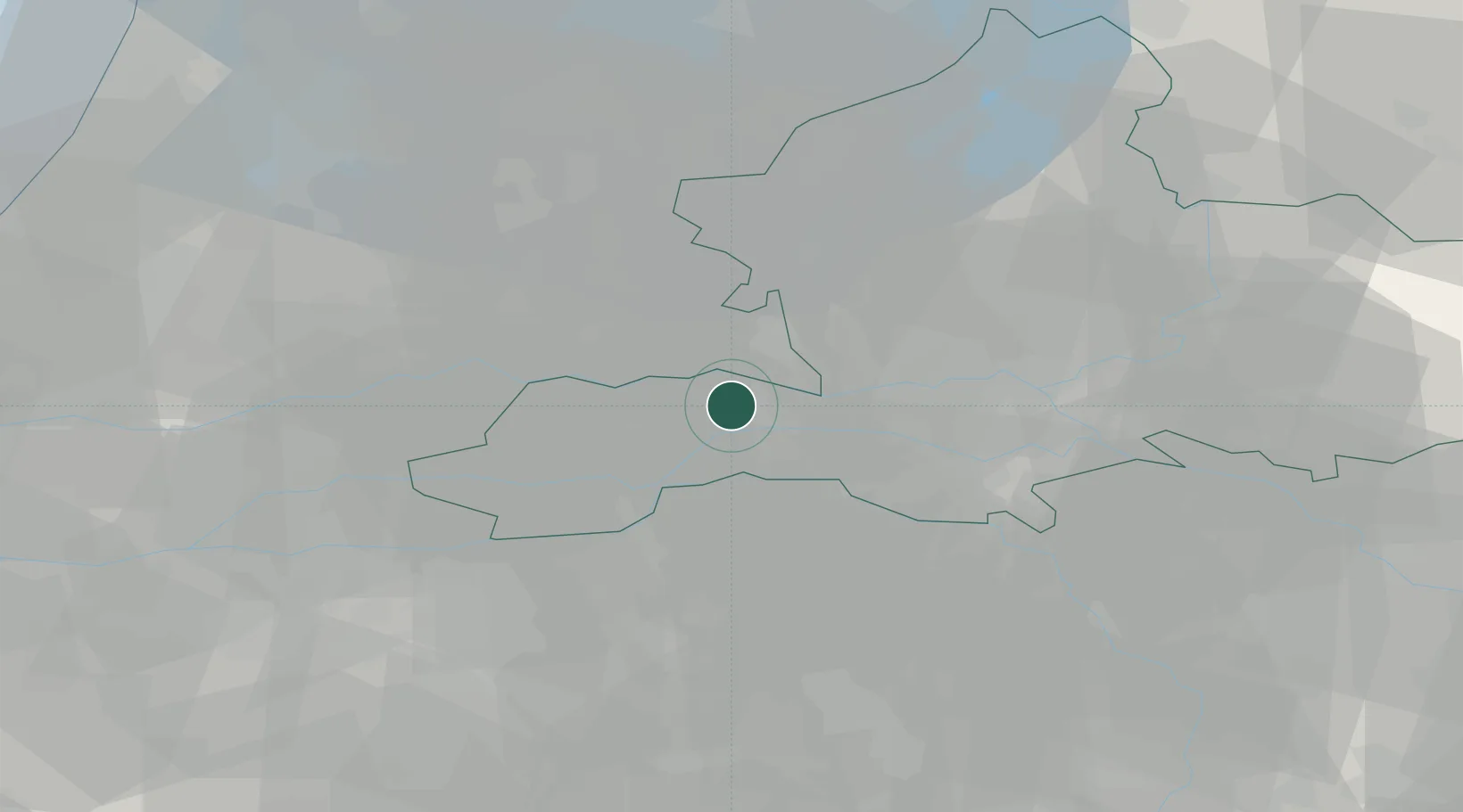
Hub Profile
Place type
Populated place
Region
Gelderland
Time zone
Europe/Amsterdam
Elevation
6 m
Location
Nearby Logistics Neighbours
Cities
- 1Tiel3 km
- 2Aalst4 km
- 3Neder-Betuwe6 km
- 4Amerongen8 km
- 5Kapel-Avezaath9 km
Airports
- 1Deelen Air Base30 km
- 2Volkel Air Base34 km
- 3Eindhoven Airport54 km
- 4Gilze Rijen Air Base56 km
- 5Lelystad Airport58 km
Trade Zones
- 1Freeport of Duisburg93 km
- 2Rheinische Revier SWZ130 km
- 3Freeport of Emden194 km
- 4ZFU Tourcoing210 km
- 5ZFU Condé sur lEscaut210 km
DatabookThe Record of Consolidated Knowledge
Netherlands beyond logistics?