Transport Functions
Multimodal
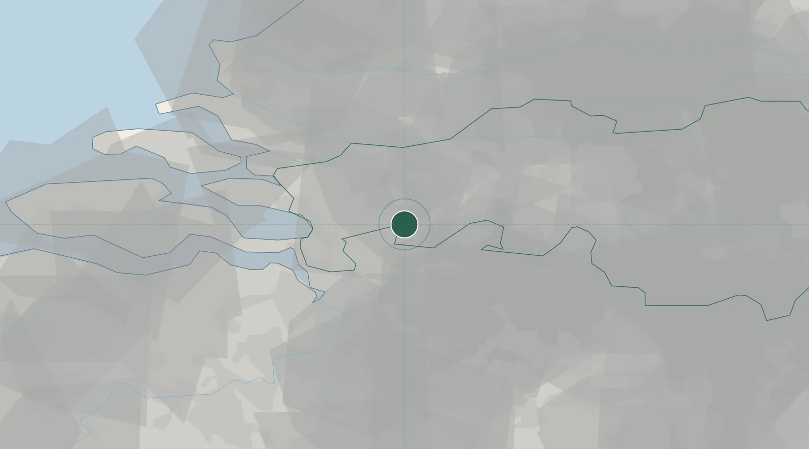
Hub Profile
Place type
Populated place
Region
North Brabant
Population
770
Time zone
Europe/Amsterdam
Elevation
15 m
Location
Nearby Logistics Neighbours
Cities
- 1Klein-Zundert7 km
- 2Roosendaal8 km
- 3Loenhout11 km
- 4Etten Leur12 km
- 5Hazeldonk13 km
Airports
Trade Zones
- 1ZFU Tourcoing129 km
- 2ZFU Hem et Roubaix131 km
- 3ZFU Condé sur lEscaut132 km
- 4Freeport of Duisburg141 km
- 5Rheinische Revier SWZ143 km
DatabookThe Record of Consolidated Knowledge
Netherlands beyond logistics?