Transport Functions
Rail
Road
Postal
Hub Profile
Place type
Populated place
Region
North Brabant
Population
77,725
Time zone
Europe/Amsterdam
Elevation
4 m
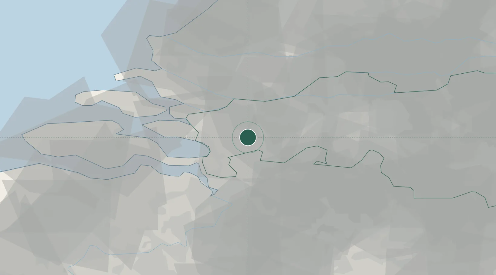
Location
Nearby Logistics Neighbours
Cities
- 1Schijf8 km
- 2Standdaarbuiten10 km
- 3Klein-Zundert14 km
- 4Etten Leur14 km
- 5Bergen op Zoom15 km
Airports
Trade Zones
- 1ZFU Tourcoing128 km
- 2ZFU Hem et Roubaix131 km
- 3ZFU Condé sur lEscaut134 km
- 4ZFU de Lille et de Loos143 km
- 5ZFU Maubeuge, Louvroil147 km
DatabookThe Record of Consolidated Knowledge
Netherlands beyond logistics?