Transport Functions
Port
Rail
Road
Multimodal
Border Crossing
Hub Profile
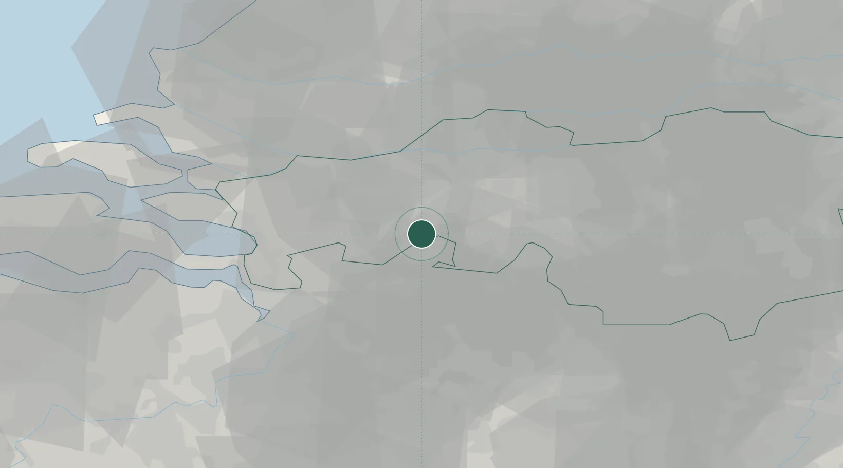
Place type
Populated place
Region
North Brabant
Population
40
Time zone
Europe/Amsterdam
Elevation
7 m
Location
Nearby Logistics Neighbours
Cities
- 1Meer6 km
- 2Klein-Zundert6 km
- 3Etten Leur9 km
- 4Breda9 km
- 5Chaam9 km
Airports
Trade Zones
- 1Freeport of Duisburg129 km
- 2Rheinische Revier SWZ132 km
- 3ZFU Tourcoing140 km
- 4ZFU Condé sur lEscaut141 km
- 5ZFU Hem et Roubaix142 km
DatabookThe Record of Consolidated Knowledge
Netherlands beyond logistics?