Transport Functions
Road
Multimodal
Hub Profile
Region
NB
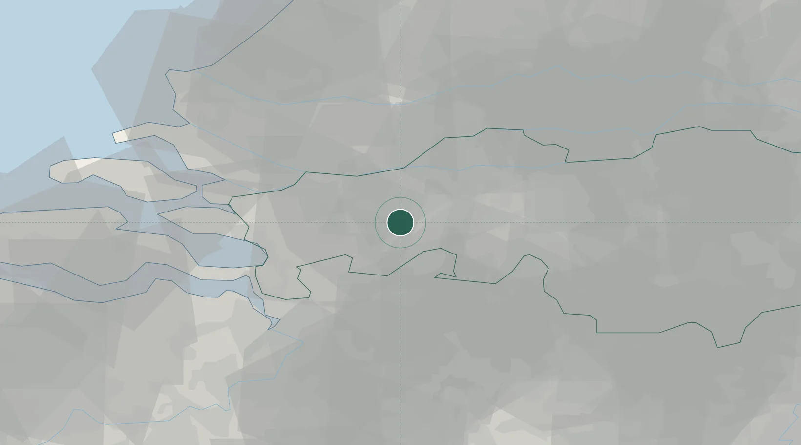
Location
Nearby Logistics Neighbours
Cities
- 1Hazeldonk9 km
- 2Breda9 km
- 3Langeweg9 km
- 4Klein-Zundert9 km
- 5Terheijden9 km
Ports
- 1Dordrecht28 km
- 2Rotterdam39 km
- 3Schiedam41 km
- 4Vlaardingen43 km
- 5Antwerpen43 km
Airports
Trade Zones
- 1Freeport of Duisburg134 km
- 2Rheinische Revier SWZ140 km
- 3ZFU Tourcoing141 km
- 4ZFU Hem et Roubaix143 km
- 5ZFU Condé sur lEscaut144 km
DatabookThe Record of Consolidated Knowledge
Netherlands beyond logistics?