Seaport · Belgium
AntwerpenBEANR
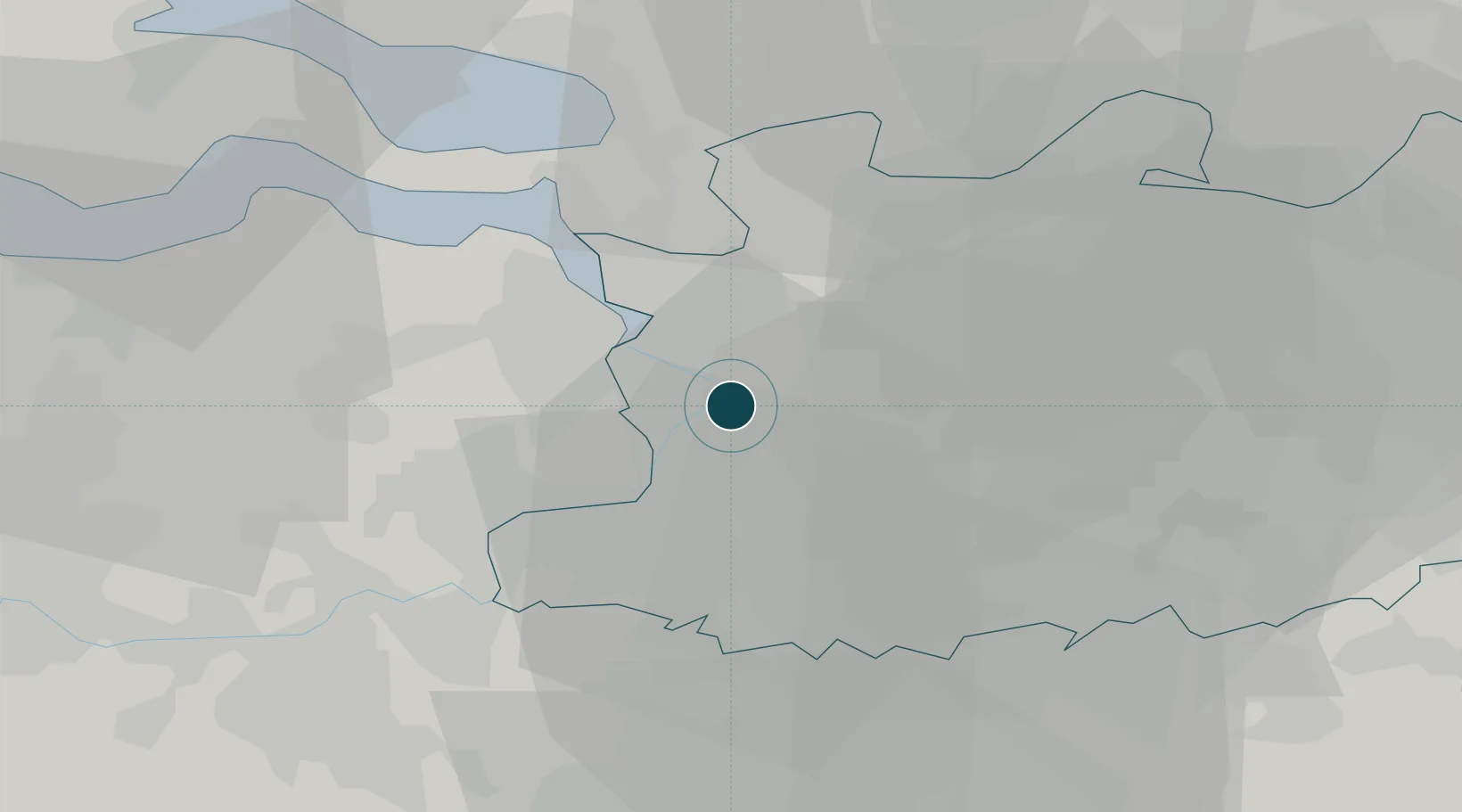
51.2167°, 4.4000°
11.0 m
Channel depth
11
Container terminals
896.9
Port liner connectivity
Channel & Berth Profile
Pilotage, Tugs & Services
Pilotage compulsoryYES
Pilotage availableYES
Local assistanceYES
Tug assistanceYES
Salvage tugsNO
Shore powerYES
Potable waterYES
Diesel bunkersYES
MedicalYES
Garbage disposalYES
Facilities & Capabilities
Container—
Ro-Ro—
Liquid bulk—
Dry bulk—
Oil terminal—
Break bulk—
Dry dockNO
RepairsNO
BunkeringYES
Rail linkYES
Dangerous cargo—
ISPS security—
Harbour Specifications
Harbour size
Large
Harbour type
River (Tide Gates)
Shelter
Good
Water body
North Sea; North Atlantic Ocean
Tidal range
4 m
Overhead limit
Yes
Pilotage
Yes
Liner Connectivity
896.9
PLSCI
Port Liner Shipping Connectivity Index for Antwerpen, as published by UNCTAD for the latest available quarter. Higher values indicate stronger scheduled liner-shipping integration.
Shown relative to the highest per-port PLSCI in the dataset (1,657.9).
Location
Container Terminals · 11
ANTWERP GATEWAY TERMINAL (K1700-K1710)
1700 DP WORLD (ANTWERP)
ANTWERP CONTAINER TERMINAL (K730)
ACOT SEA-INVEST ANTWERP CONTAINER TERMINAL (ACOT)
ANTWERP EUROTERMINAL (K1329-K1347)
AET ANTWERP EUROTERMINAL NV
BELGIAN NEW FRUIT WHARF (K184-K238)
BNFW SEA-INVEST FRUIT AND FOOD DIVISION
MPET DEURGANCK DOCK EAST (K1718)
K1718 MSC PSA EUROPEAN TERMINAL
MPET DEURGANCK DOCK WEST (K1742)
K1742 MSC PSA EUROPEAN TERMINAL
ASSOCIATED TERMINAL OPERATORS (K400)
K400 ASSOCIATED TERMINAL OPERATORS (ATO)
CHURCHILL TERMINAL (K416-K430)
K420 NOVA NATIE NV
EUROPORTS CONTAINERS (K524)
K524 EUROPORTS CONTAINERS Q524 NV
PSA EUROPA TERMINAL (K869)
K869 PSA ANTWERP
PSA NOORDZEE TERMINAL (K913)
K913 PSA ANTWERP
Nearby Logistics Neighbours
Ports
- 1Hansweert38 km
- 2Bruxelles39 km
- 3Terneuzen43 km
- 4Ghent49 km
- 5Vlissingen61 km
Cities
- 1Pijp Tabak4 km
- 2Burcht4 km
- 3Deurne5 km
- 4Zwijndrecht5 km
- 5Merksem5 km
Airports
- 1Antwerp International Airport (Deurne)5 km
- 2Woensdrecht Air Base26 km
- 3Brussels Airport36 km
- 4Gilze Rijen Air Base54 km
- 5Beauvechain Air Base57 km
Trade Zones
- 1ZFU Condé sur lEscaut102 km
- 2ZFU Tourcoing103 km
- 3ZFU Hem et Roubaix104 km
- 4ZFU Maubeuge, Louvroil111 km
- 5ZFU de Lille et de Loos117 km
DatabookThe Record of Consolidated Knowledge
Belgium beyond logistics?