Transport Functions
Road
Multimodal
Hub Profile
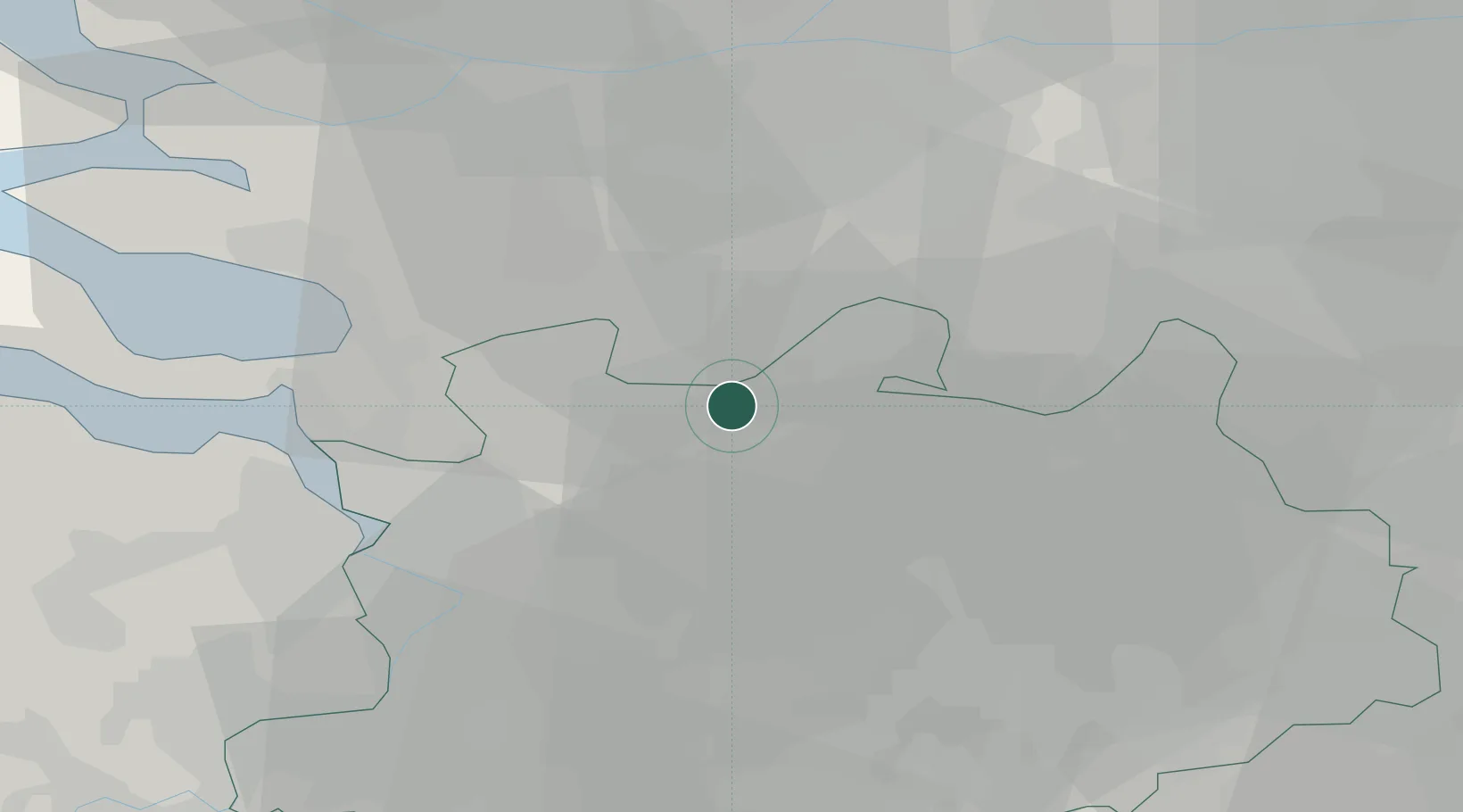
Place type
Populated place
Region
Flanders
Population
4,302
Time zone
Europe/Brussels
Elevation
18 m
Location
Nearby Logistics Neighbours
Cities
- 1Sint-Lenaarts7 km
- 2Klein Veerle8 km
- 3Meer9 km
- 4Klein-Zundert9 km
- 5Rijkevorsel11 km
Airports
- 1Woensdrecht Air Base21 km
- 2Antwerp International Airport (Deurne)26 km
- 3Gilze Rijen Air Base28 km
- 4Eindhoven Airport52 km
- 5Brussels Airport56 km
Trade Zones
- 1ZFU Condé sur lEscaut128 km
- 2ZFU Tourcoing128 km
- 3ZFU Hem et Roubaix130 km
- 4Rheinische Revier SWZ134 km
- 5Freeport of Duisburg136 km
DatabookThe Record of Consolidated Knowledge
Belgium beyond logistics?