UN/LOCODE hub · Netherlands
NLKNZ
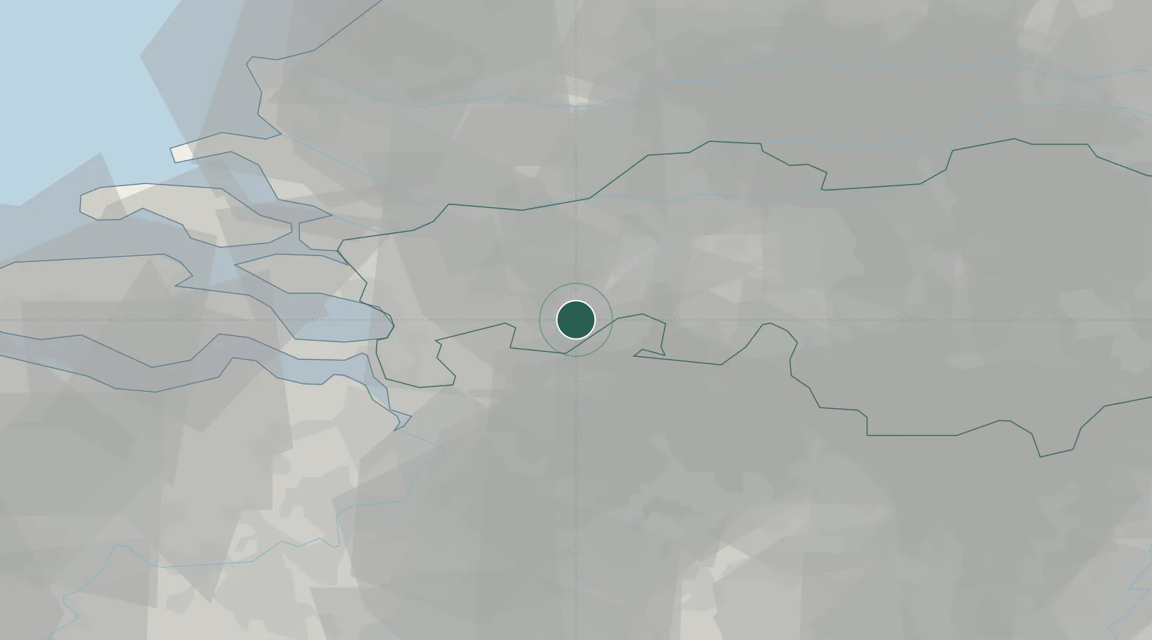
Klein-Zundert
51.4833°, 4.6500°
1,320
Population
1
Transport functions
Transport Functions
Multimodal
Hub Profile
Place type
Populated place
Region
North Brabant
Population
1,320
Time zone
Europe/Amsterdam
Elevation
10 m
Location
Nearby Logistics Neighbours
Cities
- 1Hazeldonk6 km
- 2Meer7 km
- 3Schijf7 km
- 4Etten Leur9 km
- 5Loenhout9 km
Airports
Trade Zones
- 1ZFU Tourcoing134 km
- 2Freeport of Duisburg134 km
- 3ZFU Condé sur lEscaut136 km
- 4ZFU Hem et Roubaix136 km
- 5Rheinische Revier SWZ136 km
DatabookThe Record of Consolidated Knowledge
Netherlands beyond logistics?