Transport Functions
Road
Multimodal
Hub Profile
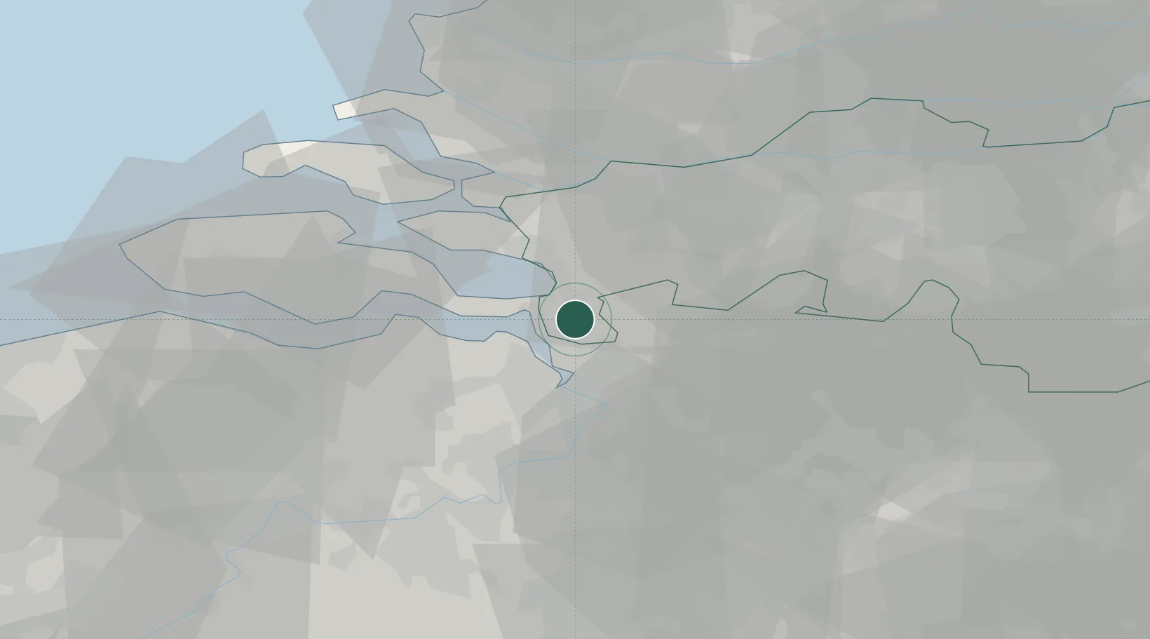
Place type
Populated place
Region
North Brabant
Population
3,970
Time zone
Europe/Amsterdam
Elevation
11 m
Location
Nearby Logistics Neighbours
Cities
- 1Zandvliet4 km
- 2Berendrecht8 km
- 3Doel10 km
- 4Rilland11 km
- 5Lillo11 km
Ports
- 1Antwerpen21 km
- 2Hansweert24 km
- 3Terneuzen36 km
- 4Vlissingen51 km
- 5Dordrecht51 km
Airports
Trade Zones
- 1ZFU Tourcoing111 km
- 2ZFU Hem et Roubaix114 km
- 3ZFU Condé sur lEscaut117 km
- 4ZFU de Lille et de Loos126 km
- 5ZFU Maubeuge, Louvroil130 km
DatabookThe Record of Consolidated Knowledge
Netherlands beyond logistics?