UN/LOCODE hub · Belgium
BEZVT

Zandvliet

51.3667°, 4.3000°
2
Transport functions

Transport Functions

Port
Road
UN/LOCODE

Hub Profile

Place type
Populated place
GeoNames
Region
Flanders
GeoNames
Time zone
Europe/Brussels
GeoNames
Elevation
4 m
GeoNames

Location

Location of BEZVT
Natural Earth 10m (public domain) · Flanders · BEZVT · 51.37, 4.30GoogleOSMYandex

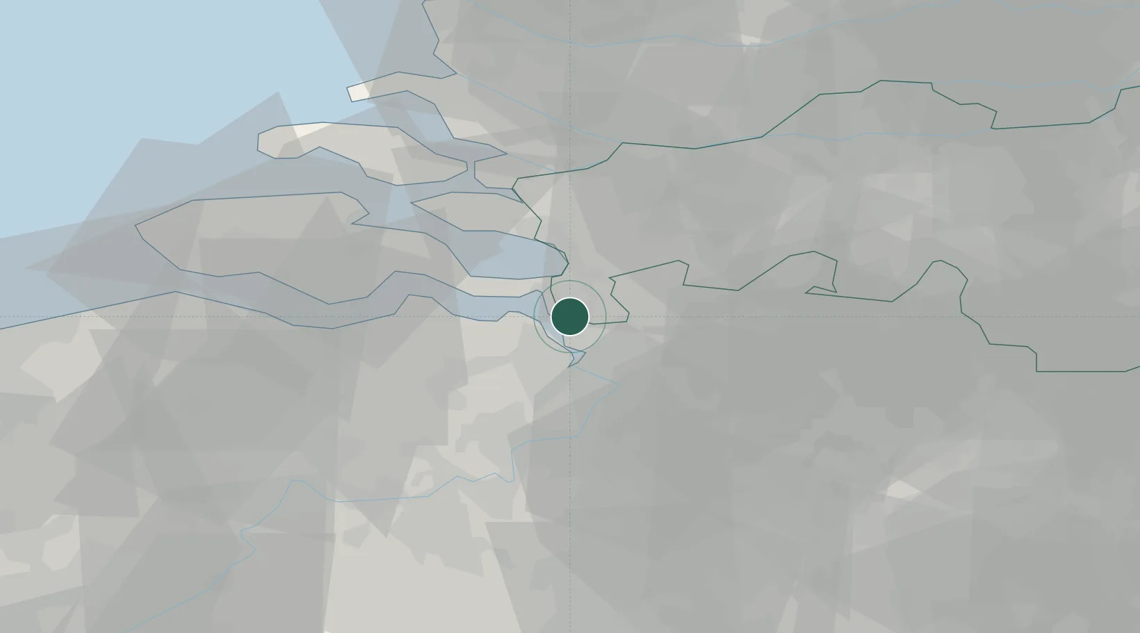
Nearby Logistics Neighbours

Cities
  1. 1Berendrecht4 km
  2. 2Ossendrecht4 km
  3. 3Doel6 km
  4. 4Lillo7 km
  5. 5Antwerpen10 km
Nearest neighbours — logibook spatial index (haversine) over the source coordinates
Ports
  1. 1Antwerpen18 km
  2. 2Hansweert23 km
  3. 3Terneuzen34 km
  4. 4Vlissingen49 km
  5. 5Ghent52 km
Nearest neighbours — logibook spatial index (haversine) over the source coordinates
Airports
  1. 1Woensdrecht Air Base10 km
  2. 2Antwerp International Airport (Deurne)23 km
  3. 3Gilze Rijen Air Base49 km
  4. 4Brussels Airport53 km
  5. 5Rotterdam The Hague Airport66 km
Nearest neighbours — logibook spatial index (haversine) over the source coordinates
Trade Zones
  1. 1ZFU Tourcoing107 km
  2. 2ZFU Hem et Roubaix109 km
  3. 3ZFU Condé sur lEscaut112 km
  4. 4ZFU de Lille et de Loos122 km
  5. 5ZFU Maubeuge, Louvroil126 km
Nearest neighbours — logibook spatial index (haversine) over the source coordinates
DatabookThe Record of Consolidated Knowledge
Belgium beyond logistics?
Browse databook

All Sources

LocationsUN/LOCODE
UN/LOCODE — free
Portsthe NGA World Port Index
Public domain (US gov)
AirportsOurAirports
Public domain
Trade Zonesthe World Bank SEZ database
CC BY 4.0
Trade ZonesOpen Zone Map
CC BY
← Belgium locations