Large airport · Belgium

Brussels AirportEBBR
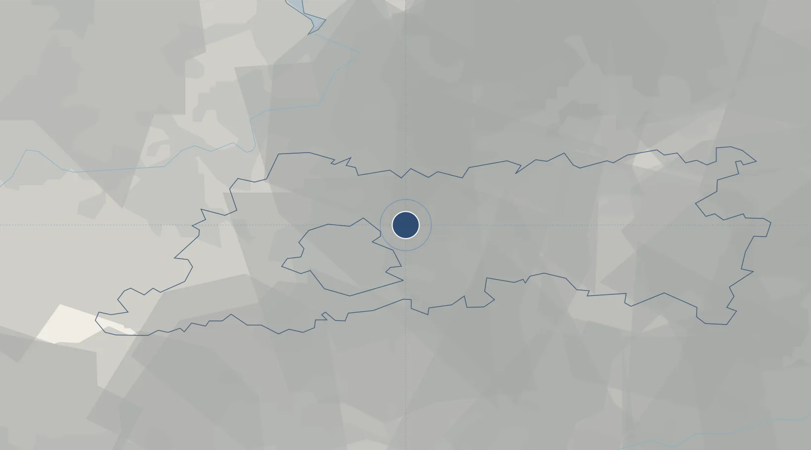
50.9014°, 4.4844°
11,936 ft
Longest runway
3
Runways
175 ft
Elevation

Runway & Layout

Brussels Airport runway & taxiway layout
Runway & taxiway layout — OpenStreetMap (ODbL) / OurAirports

Radio Frequencies

ATIS
121.755 MHz
ATIS DEP
ATIS
132.475 MHz
ATIS ARR
TWR
118.605 MHz
TWR (RWY 07R/25L and 01)
TWR
120.78 MHz
TWR (RWY 07L/25R or 19)
GND
118.055 MHz
GND North
GND
121.88 MHz
GND South
CLD
121.95 MHz
CLNC DEL
APP
118.255 MHz
DEP
126.63 MHz
OPS
140.575 MHz
MELSBROEK OPS
UNIC
130.55 MHz
ABELAG UNICOM
OurAirports

Navaids

AFI VOR-DME Affligem 114.90 MHz
BUB VOR-DME Brussels 114.60 MHz
BUN VOR-DME Bruno 110.60 MHz
OB NDB Brussels 293 kHz
OZ NDB Brussels 314 kHz
OurAirports

Runways · 3

RunwayDimensions SurfaceTrue headingLit
07L/25R 11,936 × 148ft Asphalt 065°
07R/25L 10,535 × 148ft Asphalt 070°
01/19 9,800 × 164ft Asphalt 014°
OurAirports

Airport Specifications

IATA code
BRU
OurAirports
ICAO code
EBBR
OurAirports
Airport class
Large airport
OurAirports
Scheduled service
Yes
OurAirports
Runway surface
Asphalt
OurAirports
Served city
Zaventem
OurAirports

Location

Location of EBBR
Natural Earth 10m (public domain) · Flemish Brabant · EBBR · 50.90, 4.48GoogleOSMYandex

Nearby Logistics Neighbours

Airports
  1. 1Beauvechain Air Base26 km
  2. 2Antwerp International Airport (Deurne)32 km
  3. 3Brussels South Charleroi Airport49 km
  4. 4Chièvres Air Base59 km
  5. 5Woensdrecht Air Base62 km
Nearest neighbours — logibook spatial index (haversine) over the source coordinates
Cities
  1. 1Nossegem3 km
  2. 2Haren5 km
  3. 3Vilvoorde6 km
  4. 4Neder-Over-Heembeek7 km
  5. 5Kampenhout7 km
Nearest neighbours — logibook spatial index (haversine) over the source coordinates
Ports
  1. 1Bruxelles10 km
  2. 2Antwerpen36 km
  3. 3Ghent56 km
  4. 4Terneuzen68 km
  5. 5Hansweert70 km
Nearest neighbours — logibook spatial index (haversine) over the source coordinates
Trade Zones
  1. 1ZFU Condé sur lEscaut80 km
  2. 2ZFU Maubeuge, Louvroil81 km
  3. 3ZFU Tourcoing95 km
  4. 4ZFU Hem et Roubaix96 km
  5. 5ZFU Denain, Douchy-les-Mines, Escaudain et Lourches102 km
Nearest neighbours — logibook spatial index (haversine) over the source coordinates
DatabookThe Record of Consolidated Knowledge
Belgium beyond logistics?
Browse databook

All Sources

AirportsOurAirports
Public domain
Portsthe NGA World Port Index
Public domain (US gov)
LocationsUN/LOCODE
UN/LOCODE — free
Trade Zonesthe World Bank SEZ database
CC BY 4.0
Trade ZonesOpen Zone Map
CC BY
InfrastructureOpenStreetMap
ODbL 1.0
← Belgium airports