Transport Functions
Port
Road
Hub Profile
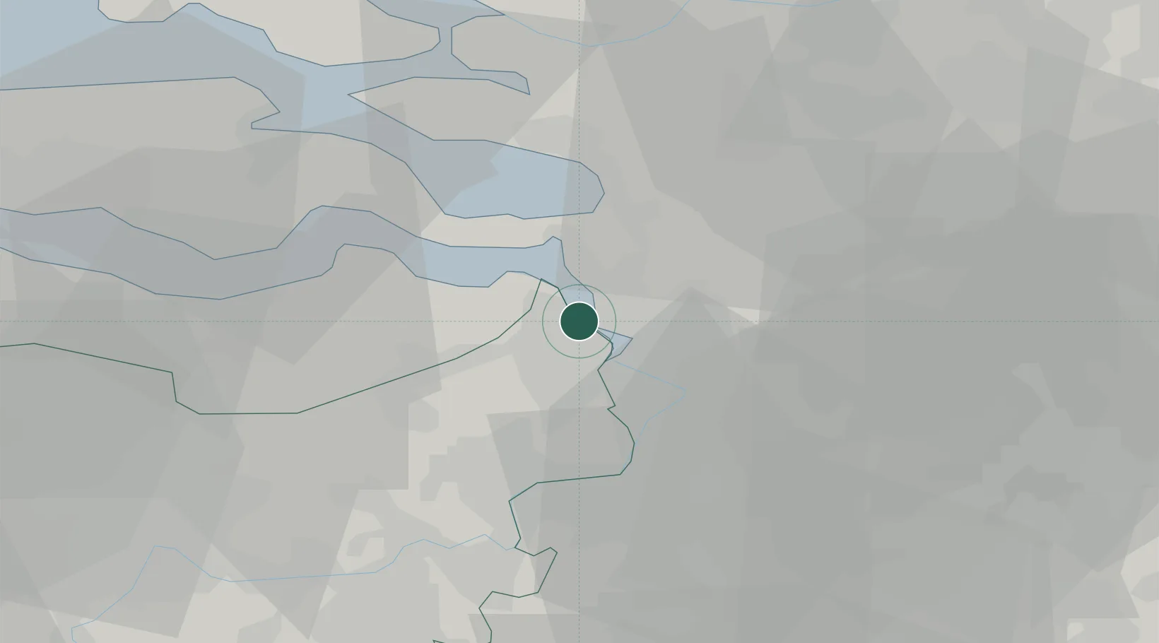
Place type
Populated place
Region
Flanders
Population
110
Time zone
Europe/Brussels
Elevation
2 m
Location
Nearby Logistics Neighbours
Cities
- 1Lillo3 km
- 2Berendrecht4 km
- 3Kallo4 km
- 4Zandvliet6 km
- 5Antwerpen6 km
Ports
- 1Antwerpen15 km
- 2Hansweert24 km
- 3Terneuzen32 km
- 4Ghent46 km
- 5Vlissingen49 km
Airports
- 1Woensdrecht Air Base16 km
- 2Antwerp International Airport (Deurne)20 km
- 3Brussels Airport49 km
- 4Gilze Rijen Air Base54 km
- 5Beauvechain Air Base71 km
Trade Zones
- 1ZFU Tourcoing102 km
- 2ZFU Hem et Roubaix104 km
- 3ZFU Condé sur lEscaut106 km
- 4ZFU de Lille et de Loos116 km
- 5ZFU Maubeuge, Louvroil120 km
DatabookThe Record of Consolidated Knowledge
Belgium beyond logistics?