Transport Functions
Port
Road
Hub Profile
Place type
Populated place
Region
Flanders
Time zone
Europe/Brussels
Elevation
3 m
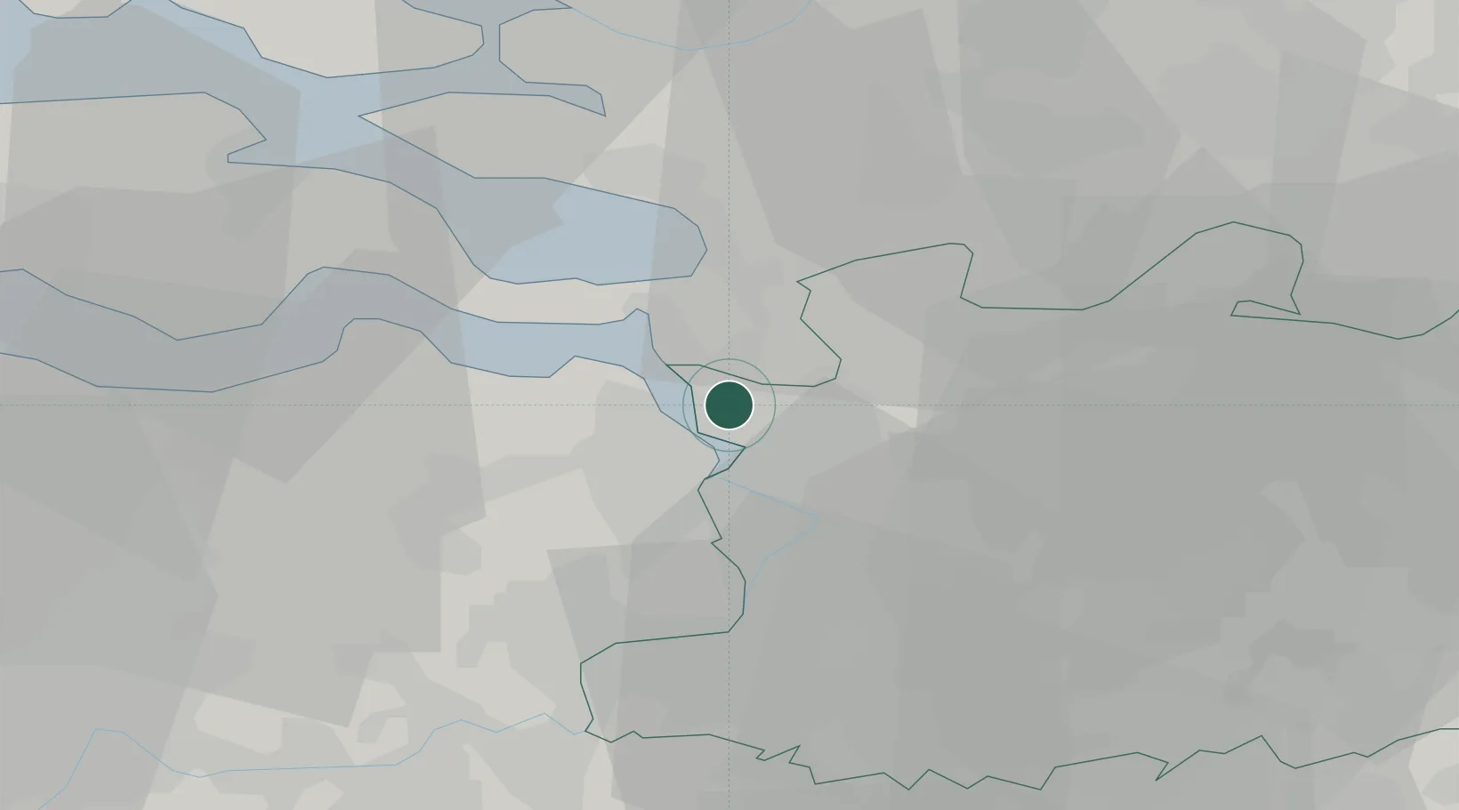
Location
Nearby Logistics Neighbours
Ports
- 1Antwerpen14 km
- 2Hansweert26 km
- 3Terneuzen35 km
- 4Ghent50 km
- 5Vlissingen51 km
Airports
Trade Zones
- 1ZFU Tourcoing106 km
- 2ZFU Hem et Roubaix108 km
- 3ZFU Condé sur lEscaut110 km
- 4ZFU de Lille et de Loos120 km
- 5ZFU Maubeuge, Louvroil122 km
DatabookThe Record of Consolidated Knowledge
Belgium beyond logistics?