Economic Revitalization Project · France

ZFU Maubeuge, Louvroil Active
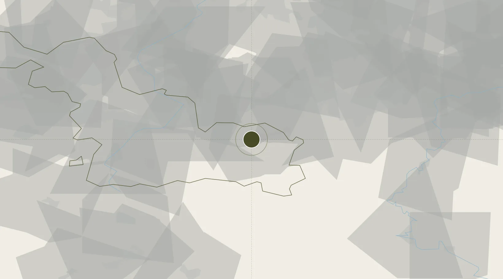
50.2597°, 3.9341°
373 ha
Zone area
73.6 km
Nearest port
34.4 km
Nearest airport

Gateway access

Nearest neighbours — logibook spatial index (haversine) over the source coordinates

Zone profile

Zone type
Economic Revitalization Project
Open Zone Map
Region
Nord
Open Zone Map
Status
Active
Open Zone Map
Management
Public
Open Zone Map
Operator
Ville de Louvroil
Open Zone Map
Legal framework
Décret no 65-939 du 8 novembre 1965, Décret du 9 Octobre 2008
Open Zone Map

Location

Location of ozm-2014
Natural Earth 10m (public domain) · Nord · ozm-2014 · 50.26, 3.93GoogleOSMYandex

Nearby Logistics Neighbours

Ports
  1. 1Bruxelles74 km
  2. 2Ghent91 km
  3. 3Antwerpen111 km
  4. 4Bruges119 km
  5. 5Terneuzen122 km
Nearest neighbours — logibook spatial index (haversine) over the source coordinates
Airports
  1. 1Valenciennes-Denain Airfield34 km
  2. 2Chièvres Air Base36 km
  3. 3Brussels South Charleroi Airport44 km
  4. 4Florennes Air Base51 km
  5. 5Lille Airport68 km
Nearest neighbours — logibook spatial index (haversine) over the source coordinates
Cities
  1. 1Hautmont1 km
  2. 2Maubeuge4 km
  3. 3Rousies5 km
  4. 4Bettignies9 km
  5. 5Boussois9 km
Nearest neighbours — logibook spatial index (haversine) over the source coordinates
DatabookThe Record of Consolidated Knowledge
France beyond logistics?
Browse databook

All Sources

Trade ZonesOpen Zone Map
CC BY
Portsthe NGA World Port Index
Public domain (US gov)
AirportsOurAirports
Public domain
LocationsUN/LOCODE
UN/LOCODE — free
← France trade zones