UN/LOCODE hub · Belgium
BELIL

Lillo

51.3000°, 4.3000°
2
Transport functions

Transport Functions

Port
Road
UN/LOCODE

Hub Profile

Place type
Populated place
GeoNames
Region
Flanders
GeoNames
Time zone
Europe/Brussels
GeoNames
Elevation
6 m
GeoNames

Location

Location of BELIL
Natural Earth 10m (public domain) · Flanders · BELIL · 51.30, 4.30GoogleOSMYandex

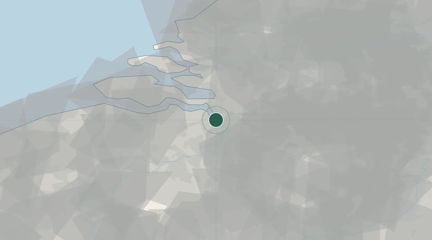
Nearby Logistics Neighbours

Cities
  1. 1Kallo3 km
  2. 2Doel3 km
  3. 3Antwerpen3 km
  4. 4Berendrecht4 km
  5. 5Antwerp Churchill Terminal4 km
Nearest neighbours — logibook spatial index (haversine) over the source coordinates
Ports
  1. 1Antwerpen12 km
  2. 2Hansweert27 km
  3. 3Terneuzen34 km
  4. 4Ghent47 km
  5. 5Bruxelles48 km
Nearest neighbours — logibook spatial index (haversine) over the source coordinates
Airports
  1. 1Antwerp International Airport (Deurne)17 km
  2. 2Woensdrecht Air Base17 km
  3. 3Brussels Airport46 km
  4. 4Gilze Rijen Air Base53 km
  5. 5Beauvechain Air Base69 km
Nearest neighbours — logibook spatial index (haversine) over the source coordinates
Trade Zones
  1. 1ZFU Tourcoing102 km
  2. 2ZFU Hem et Roubaix105 km
  3. 3ZFU Condé sur lEscaut106 km
  4. 4ZFU de Lille et de Loos117 km
  5. 5ZFU Maubeuge, Louvroil119 km
Nearest neighbours — logibook spatial index (haversine) over the source coordinates
DatabookThe Record of Consolidated Knowledge
Belgium beyond logistics?
Browse databook

All Sources

LocationsUN/LOCODE
UN/LOCODE — free
Portsthe NGA World Port Index
Public domain (US gov)
AirportsOurAirports
Public domain
Trade Zonesthe World Bank SEZ database
CC BY 4.0
Trade ZonesOpen Zone Map
CC BY
← Belgium locations