Transport Functions
Port
Rail
Road
Hub Profile
Place type
Populated place
Region
Zeeland
Time zone
Europe/Amsterdam
Elevation
2 m
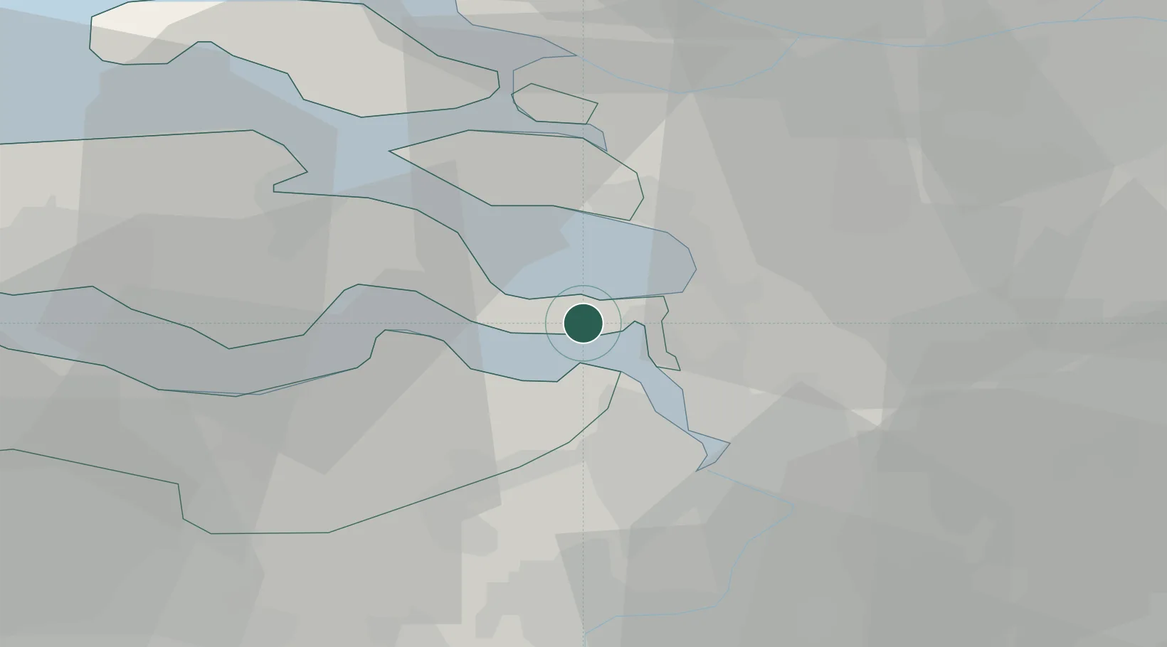
Location
Nearby Logistics Neighbours
Cities
- 1Krabbendijke5 km
- 2Waarde9 km
- 3Zandvliet10 km
- 4Ossendrecht11 km
- 5Bergen op Zoom11 km
Ports
- 1Hansweert13 km
- 2Terneuzen27 km
- 3Antwerpen27 km
- 4Vlissingen41 km
- 5Ghent50 km
Airports
Trade Zones
- 1ZFU Tourcoing105 km
- 2ZFU Hem et Roubaix108 km
- 3ZFU Condé sur lEscaut114 km
- 4ZFU de Lille et de Loos120 km
- 5ZFU Maubeuge, Louvroil130 km
DatabookThe Record of Consolidated Knowledge
Netherlands beyond logistics?