Channel & Berth Profile
Pilotage, Tugs & Services
Pilotage compulsoryYES
Pilotage availableYES
Tug assistanceYES
Potable waterYES
Facilities & Capabilities
Container—
Ro-Ro—
Liquid bulk—
Dry bulk—
Oil terminal—
Break bulk—
Dry dock—
Repairs—
BunkeringYES
Rail linkYES
Dangerous cargo—
ISPS security—
Harbour Specifications
Harbour size
Medium
Harbour type
Canal or Lake
Shelter
Good
Water body
North Sea; North Atlantic Ocean
Tidal range
1 m
Pilotage
Yes
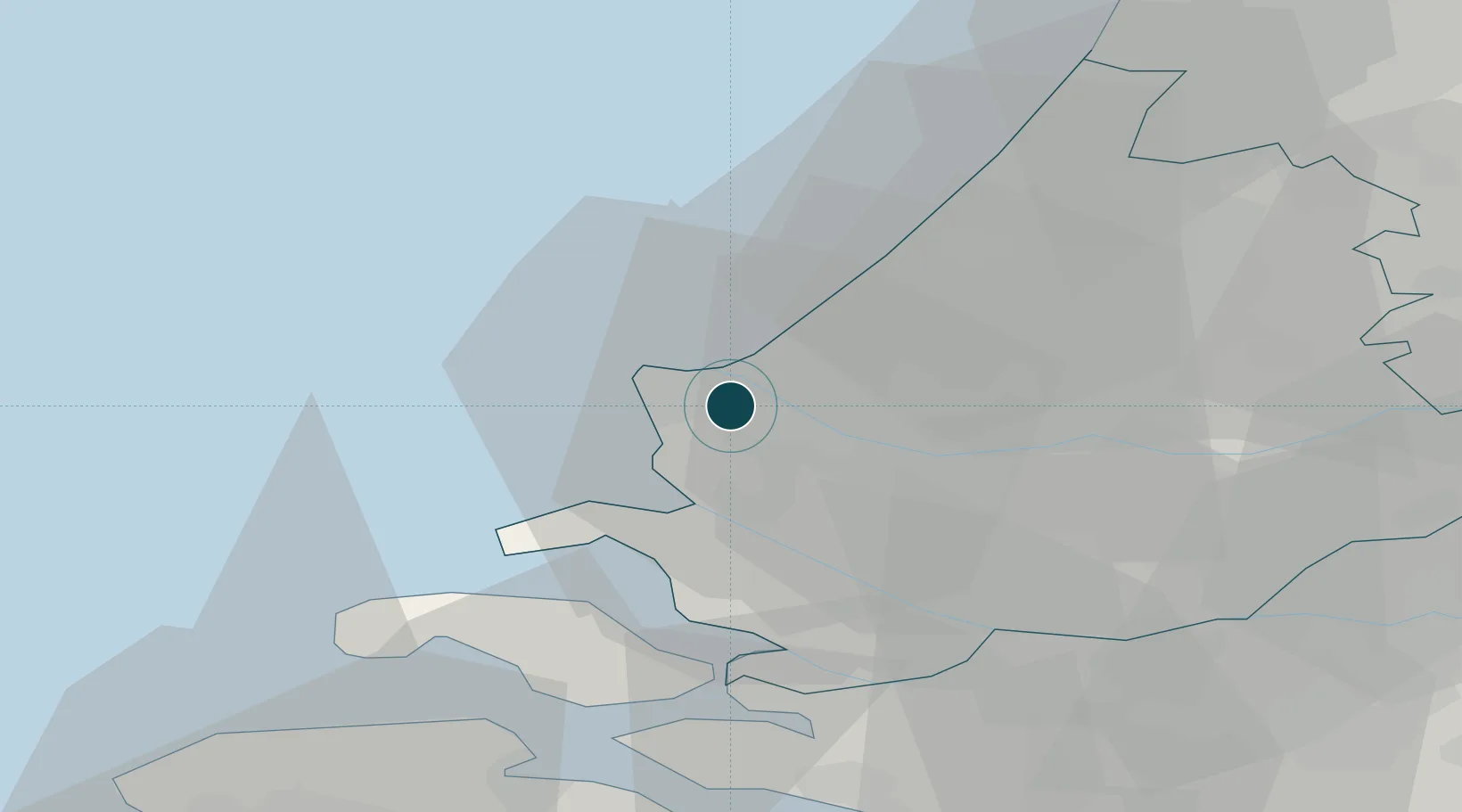
Location
Nearby Logistics Neighbours
Ports
- 1Hoek Van Holland1 km
- 2Maassluis10 km
- 3Vlaardingen17 km
- 4Scheveningen20 km
- 5Schiedam20 km
Cities
- 1Hoek van Holland2 km
- 2's-Gravenzande7 km
- 3Maasvlakte7 km
- 4Ter Heijde10 km
- 5Rockanje10 km
Airports
Trade Zones
- 1ZFU Tourcoing152 km
- 2ZFU Hem et Roubaix155 km
- 3ZFU Saint Pol sur Mer160 km
- 4ZFU de Lille et de Loos166 km
- 5ZFU Condé sur lEscaut169 km
DatabookThe Record of Consolidated Knowledge
Netherlands beyond logistics?