UN/LOCODE hub · Netherlands
NLWHD
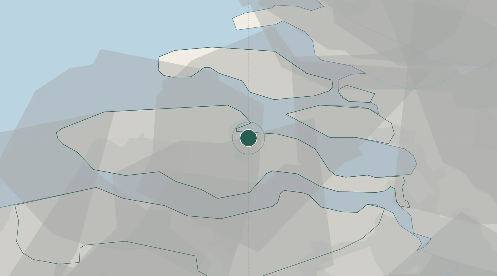
Wilhelminadorp
51.5333°, 3.9000°
665
Population
3
Transport functions
Transport Functions
Port
Rail
Road
Hub Profile
Place type
Populated place
Region
Zeeland
Population
665
Time zone
Europe/Amsterdam
Elevation
1 m
Location
Nearby Logistics Neighbours
Cities
- 1Kats4 km
- 2Oud-Sabbinge7 km
- 3S Heer Arendskerke8 km
- 4Stavenisse9 km
- 5's-Gravenpolder9 km
Ports
- 1Hansweert12 km
- 2Terneuzen21 km
- 3Vlissingen23 km
- 4Europoort49 km
- 5Maassluis49 km
Airports
Trade Zones
- 1ZFU Tourcoing104 km
- 2ZFU Hem et Roubaix107 km
- 3ZFU de Lille et de Loos118 km
- 4ZFU Condé sur lEscaut121 km
- 5ZFU Saint Pol sur Mer122 km
DatabookThe Record of Consolidated Knowledge
Netherlands beyond logistics?