Transport Functions
Port
Road
Hub Profile
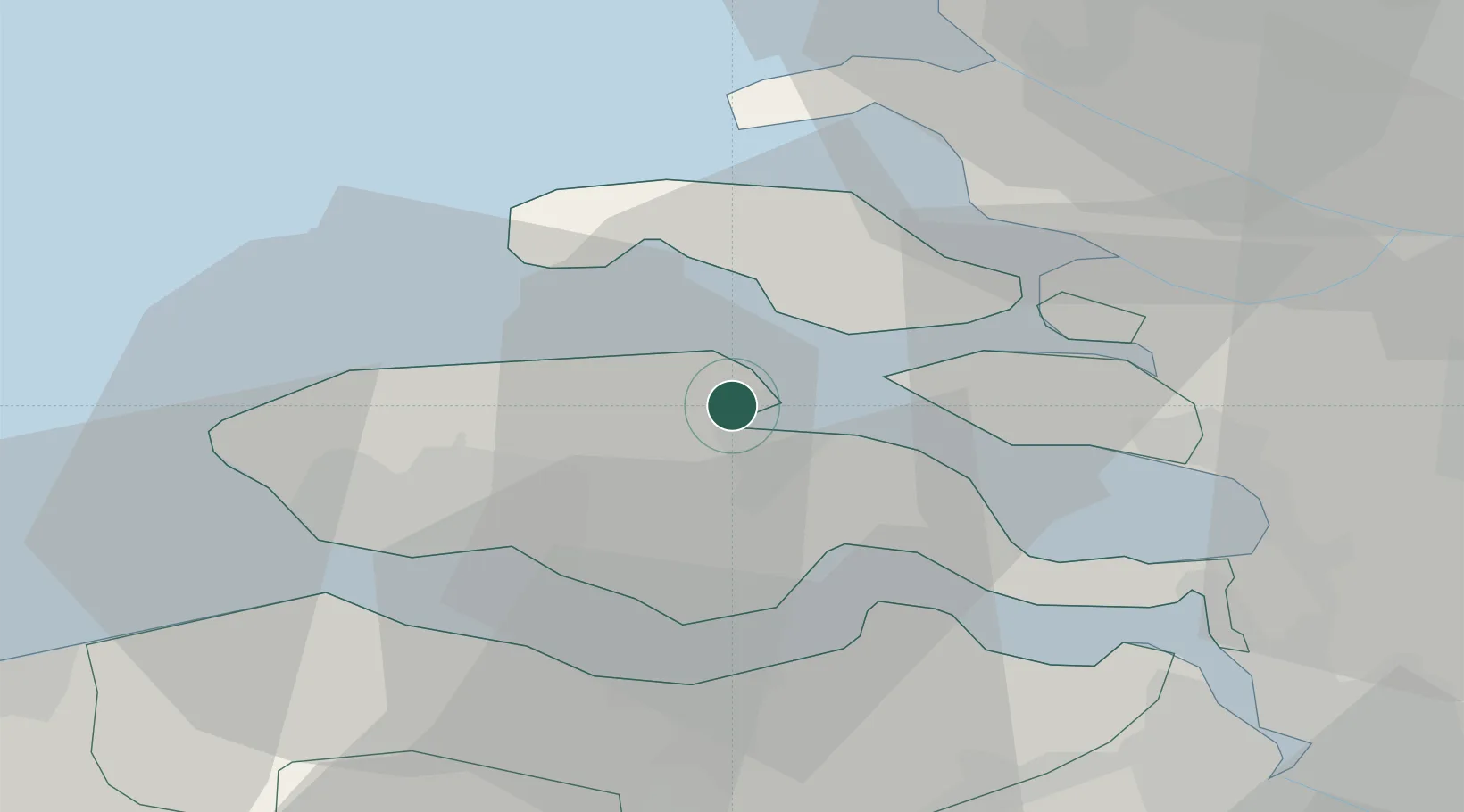
Place type
Populated place
Region
Zeeland
Population
325
Time zone
Europe/Amsterdam
Elevation
2 m
Location
Nearby Logistics Neighbours
Cities
- 1Wilhelminadorp4 km
- 2Oud-Sabbinge6 km
- 3Stavenisse9 km
- 4S Heer Arendskerke12 km
- 5's-Gravenpolder13 km
Ports
- 1Hansweert16 km
- 2Vlissingen23 km
- 3Terneuzen24 km
- 4Europoort46 km
- 5Hoek Van Holland46 km
Airports
Trade Zones
- 1ZFU Tourcoing106 km
- 2ZFU Hem et Roubaix109 km
- 3ZFU de Lille et de Loos120 km
- 4ZFU Saint Pol sur Mer122 km
- 5ZFU Condé sur lEscaut124 km
DatabookThe Record of Consolidated Knowledge
Netherlands beyond logistics?