Transport Functions
Port
Road
Hub Profile
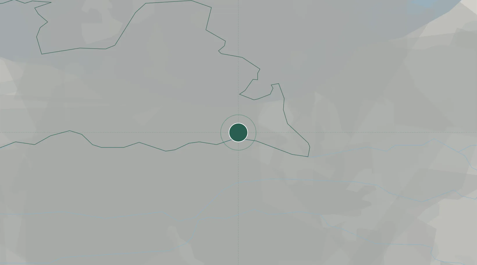
Place type
Populated place
Region
Utrecht
Population
5,085
Time zone
Europe/Amsterdam
Elevation
19 m
Location
Nearby Logistics Neighbours
Cities
- 1Overberg4 km
- 2Aalst7 km
- 3Ommeren8 km
- 4Tiel9 km
- 5Neder-Betuwe10 km
Airports
- 1Deelen Air Base29 km
- 2Volkel Air Base42 km
- 3Lelystad Airport51 km
- 4Amsterdam Airport Schiphol59 km
- 5Gilze Rijen Air Base61 km
Trade Zones
- 1Freeport of Duisburg99 km
- 2Rheinische Revier SWZ137 km
- 3Freeport of Emden189 km
- 4ZFU Tourcoing214 km
- 5ZFU Condé sur lEscaut215 km
DatabookThe Record of Consolidated Knowledge
Netherlands beyond logistics?