Transport Functions
Port
Road
Hub Profile
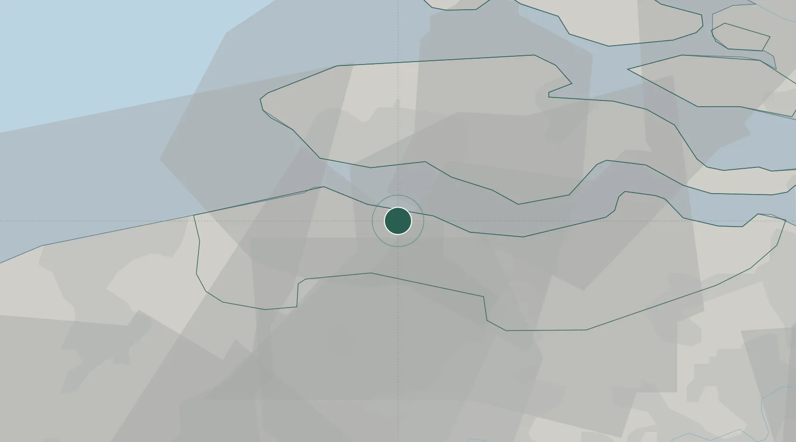
Place type
Populated place
Region
Zeeland
Population
545
Time zone
Europe/Amsterdam
Elevation
2 m
Location
Nearby Logistics Neighbours
Cities
- 1IJzendijke6 km
- 2Breskens6 km
- 3Borssele7 km
- 4Terneuzen8 km
- 5Everingen8 km
Ports
- 1Vlissingen10 km
- 2Terneuzen12 km
- 3Hansweert26 km
- 4Zeebrugge32 km
- 5Bruges34 km
Airports
Trade Zones
- 1ZFU Tourcoing79 km
- 2ZFU Hem et Roubaix83 km
- 3ZFU de Lille et de Loos93 km
- 4ZFU Saint Pol sur Mer99 km
- 5ZFU Condé sur lEscaut100 km
DatabookThe Record of Consolidated Knowledge
Netherlands beyond logistics?