Transport Functions
Port
Rail
Road
Hub Profile
Region
ZH
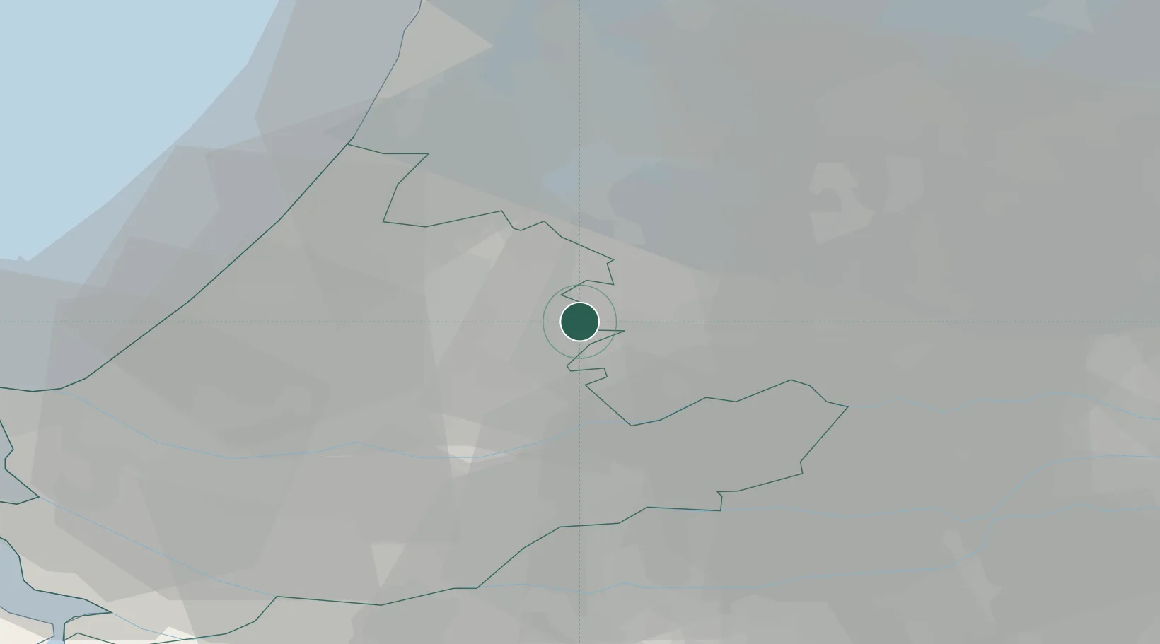
Location
Nearby Logistics Neighbours
Cities
- 1Bodegraven5 km
- 2Hogebrug6 km
- 3Hekendorp7 km
- 4Slikkendam8 km
- 5Alphen aan den Rijn10 km
Ports
- 1Rotterdam31 km
- 2Dordrecht32 km
- 3Amsterdam32 km
- 4Schiedam35 km
- 5Scheveningen38 km
Airports
- 1Amsterdam Airport Schiphol25 km
- 2Rotterdam The Hague Airport30 km
- 3Gilze Rijen Air Base58 km
- 4Lelystad Airport63 km
- 5Deelen Air Base72 km
Trade Zones
- 1Freeport of Duisburg141 km
- 2Rheinische Revier SWZ170 km
- 3ZFU Tourcoing190 km
- 4ZFU Hem et Roubaix193 km
- 5ZFU Condé sur lEscaut200 km
DatabookThe Record of Consolidated Knowledge
Netherlands beyond logistics?