Channel & Berth Profile
Pilotage, Tugs & Services
Pilotage compulsoryNO
Pilotage availableYES
Pilotage advisableYES
Local assistanceYES
Tug assistanceYES
Potable waterYES
MedicalYES
Garbage disposalYES
Facilities & Capabilities
Container—
Ro-Ro—
Liquid bulk—
Dry bulk—
Oil terminal—
Break bulk—
Dry dockNO
RepairsNO
BunkeringYES
Rail linkYES
Dangerous cargo—
ISPS security—
Harbour Specifications
Harbour size
Very Small
Harbour type
Coastal (Breakwater)
Shelter
Fair
Water body
North Sea; North Atlantic Ocean
Tidal range
2 m
Pilotage
No
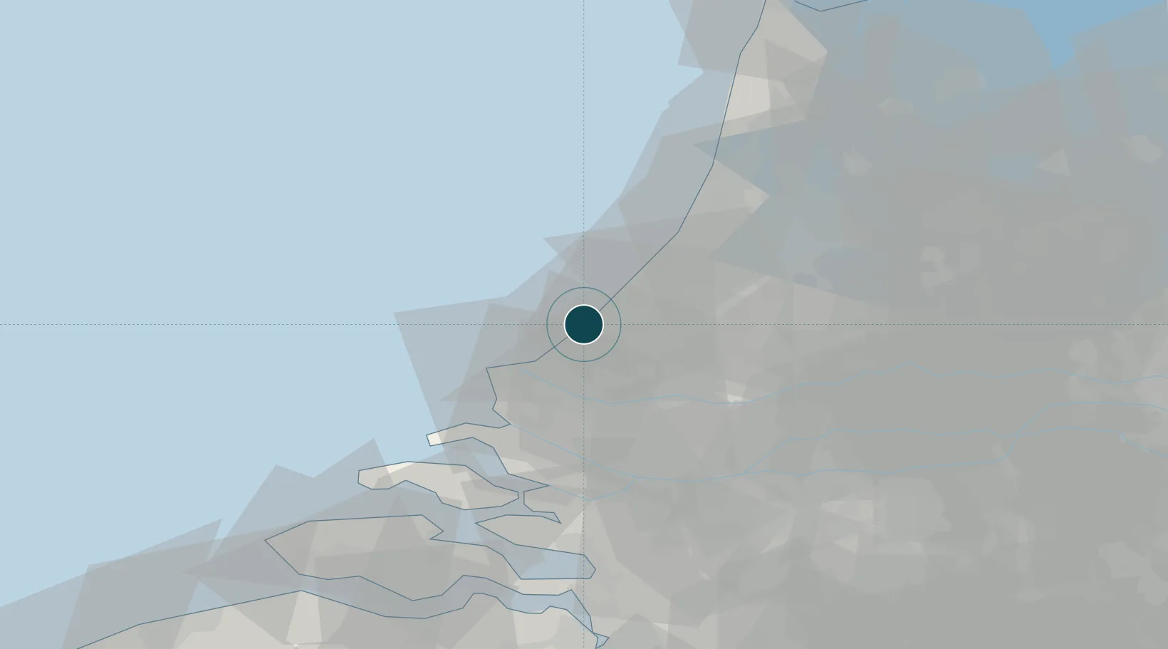
Location
Nearby Logistics Neighbours
Ports
- 1Hoek Van Holland19 km
- 2Europoort20 km
- 3Maassluis20 km
- 4Vlaardingen23 km
- 5Schiedam24 km
Cities
- 1The Hague3 km
- 2Ter Heijde10 km
- 3's-Gravenzande13 km
- 4Stompwijk14 km
- 5Katwijk aan den Rijn15 km
Airports
- 1Rotterdam The Hague Airport20 km
- 2Amsterdam Airport Schiphol41 km
- 3Woensdrecht Air Base73 km
- 4Gilze Rijen Air Base75 km
- 5Lelystad Airport94 km
Trade Zones
- 1ZFU Tourcoing171 km
- 2ZFU Hem et Roubaix175 km
- 3Freeport of Duisburg175 km
- 4ZFU Saint Pol sur Mer179 km
- 5ZFU de Lille et de Loos185 km
DatabookThe Record of Consolidated Knowledge
Netherlands beyond logistics?