Transport Functions
Port
Road
Hub Profile
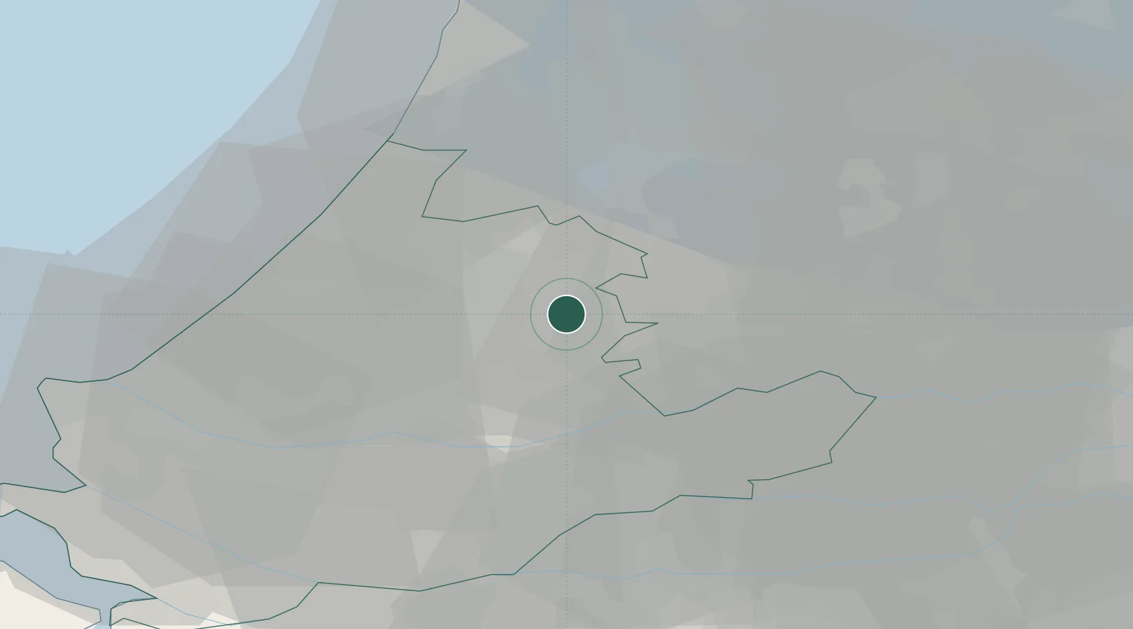
Place type
Populated place
Region
South Holland
Population
19,395
Time zone
Europe/Amsterdam
Elevation
2 m
Location
Nearby Logistics Neighbours
Cities
- 1Nieuwerbrug5 km
- 2Alphen aan den Rijn6 km
- 3Hogebrug7 km
- 4Hekendorp9 km
- 5Slikkendam10 km
Ports
- 1Rotterdam27 km
- 2Dordrecht30 km
- 3Schiedam32 km
- 4Scheveningen33 km
- 5Amsterdam33 km
Airports
- 1Amsterdam Airport Schiphol25 km
- 2Rotterdam The Hague Airport26 km
- 3Gilze Rijen Air Base59 km
- 4Lelystad Airport66 km
- 5Woensdrecht Air Base76 km
Trade Zones
- 1Freeport of Duisburg145 km
- 2Rheinische Revier SWZ173 km
- 3ZFU Tourcoing187 km
- 4ZFU Hem et Roubaix190 km
- 5ZFU Condé sur lEscaut198 km
DatabookThe Record of Consolidated Knowledge
Netherlands beyond logistics?