Transport Functions
Rail
Road
Hub Profile
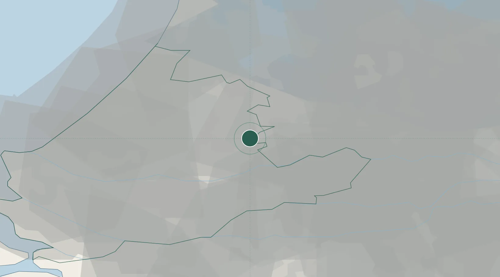
Place type
Populated place
Region
South Holland
Population
80
Time zone
Europe/Amsterdam
Elevation
-1 m
Location
Nearby Logistics Neighbours
Cities
- 1Hekendorp2 km
- 2Nieuwerbrug6 km
- 3Bodegraven7 km
- 4Alphen aan den Rijn12 km
- 5Achthoven13 km
Ports
- 1Dordrecht26 km
- 2Rotterdam26 km
- 3Schiedam31 km
- 4Vlaardingen34 km
- 5Scheveningen37 km
Airports
- 1Rotterdam The Hague Airport26 km
- 2Amsterdam Airport Schiphol31 km
- 3Gilze Rijen Air Base53 km
- 4Lelystad Airport67 km
- 5Woensdrecht Air Base72 km
Trade Zones
- 1Freeport of Duisburg139 km
- 2Rheinische Revier SWZ166 km
- 3ZFU Tourcoing185 km
- 4ZFU Hem et Roubaix188 km
- 5ZFU Condé sur lEscaut194 km
DatabookThe Record of Consolidated Knowledge
Netherlands beyond logistics?