Transport Functions
Port
Rail
Road
Hub Profile
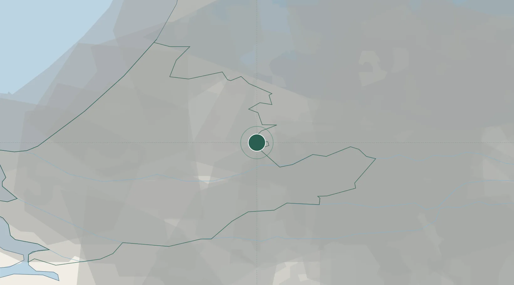
Place type
Populated place
Region
Utrecht
Time zone
Europe/Amsterdam
Elevation
1 m
Location
Nearby Logistics Neighbours
Cities
- 1Hogebrug2 km
- 2Nieuwerbrug7 km
- 3Bodegraven9 km
- 4Groot-Ammers11 km
- 5Benschop12 km
Ports
- 1Dordrecht25 km
- 2Rotterdam26 km
- 3Schiedam31 km
- 4Vlaardingen35 km
- 5Scheveningen39 km
Airports
- 1Rotterdam The Hague Airport27 km
- 2Amsterdam Airport Schiphol33 km
- 3Gilze Rijen Air Base51 km
- 4Lelystad Airport68 km
- 5Woensdrecht Air Base71 km
Trade Zones
- 1Freeport of Duisburg138 km
- 2Rheinische Revier SWZ164 km
- 3ZFU Tourcoing184 km
- 4ZFU Hem et Roubaix187 km
- 5ZFU Condé sur lEscaut193 km
DatabookThe Record of Consolidated Knowledge
Netherlands beyond logistics?