UN/LOCODE hub · Netherlands
NLAPN
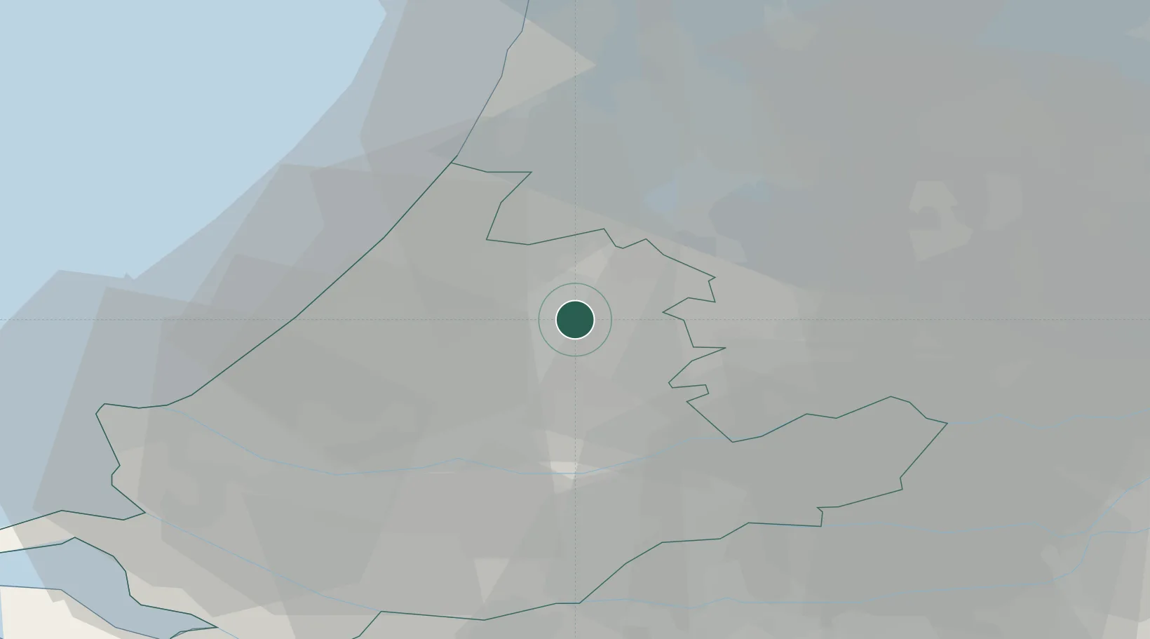
Alphen aan den Rijn
52.1097°, 4.6702°
70,251
Population
3
Transport functions
Transport Functions
Port
Rail
Road
Hub Profile
Place type
Populated place
Region
South Holland
Population
70,251
Time zone
Europe/Amsterdam
Elevation
1 m
Logistics facilities
1
Location
Nearby Logistics Neighbours
Cities
- 1Bodegraven6 km
- 2Groenendijk8 km
- 3Hoogmade9 km
- 4Rijnsaterwoude10 km
- 5Nieuwerbrug10 km
Ports
- 1Rotterdam27 km
- 2Scheveningen28 km
- 3Schiedam30 km
- 4Vlaardingen32 km
- 5Amsterdam33 km
Airports
- 1Amsterdam Airport Schiphol23 km
- 2Rotterdam The Hague Airport23 km
- 3Gilze Rijen Air Base63 km
- 4Lelystad Airport69 km
- 5Woensdrecht Air Base77 km
Trade Zones
- 1Freeport of Duisburg151 km
- 2Rheinische Revier SWZ178 km
- 3ZFU Tourcoing186 km
- 4ZFU Hem et Roubaix189 km
- 5ZFU Condé sur lEscaut198 km
DatabookThe Record of Consolidated Knowledge
Netherlands beyond logistics?