Transport Functions
Port
Road
Hub Profile
Place type
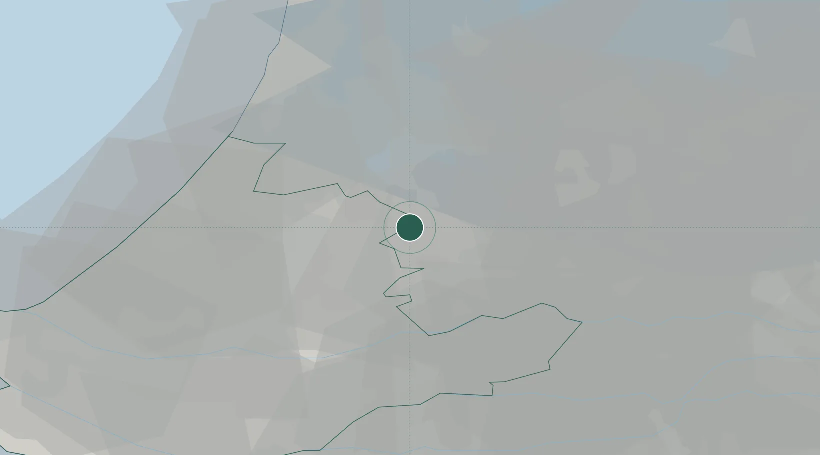
Populated place
Region
South Holland
Time zone
Europe/Amsterdam
Elevation
-1 m
Location
Nearby Logistics Neighbours
Cities
- 1De Hoef6 km
- 2Nieuwerbrug8 km
- 3Demmerik8 km
- 4Amstelhoek9 km
- 5Bodegraven10 km
Airports
- 1Amsterdam Airport Schiphol19 km
- 2Rotterdam The Hague Airport36 km
- 3Lelystad Airport56 km
- 4Gilze Rijen Air Base65 km
- 5Deelen Air Base71 km
Trade Zones
- 1Freeport of Duisburg143 km
- 2Rheinische Revier SWZ174 km
- 3ZFU Tourcoing197 km
- 4ZFU Hem et Roubaix200 km
- 5Freeport of Emden205 km
DatabookThe Record of Consolidated Knowledge
Netherlands beyond logistics?