UN/LOCODE hub · Netherlands
NLLWR
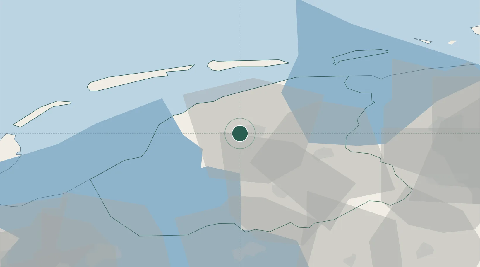
Leeuwarden
53.1877°, 5.7628°
124,481
Population
4
Transport functions
Transport Functions
Port
Rail
Road
Airport
Hub Profile
Place type
Regional capital
Region
Friesland
Population
124,481
Time zone
Europe/Amsterdam
Elevation
1 m
Logistics facilities
1
Location
Nearby Logistics Neighbours
DatabookThe Record of Consolidated Knowledge
Netherlands beyond logistics?