Transport Functions
Multimodal
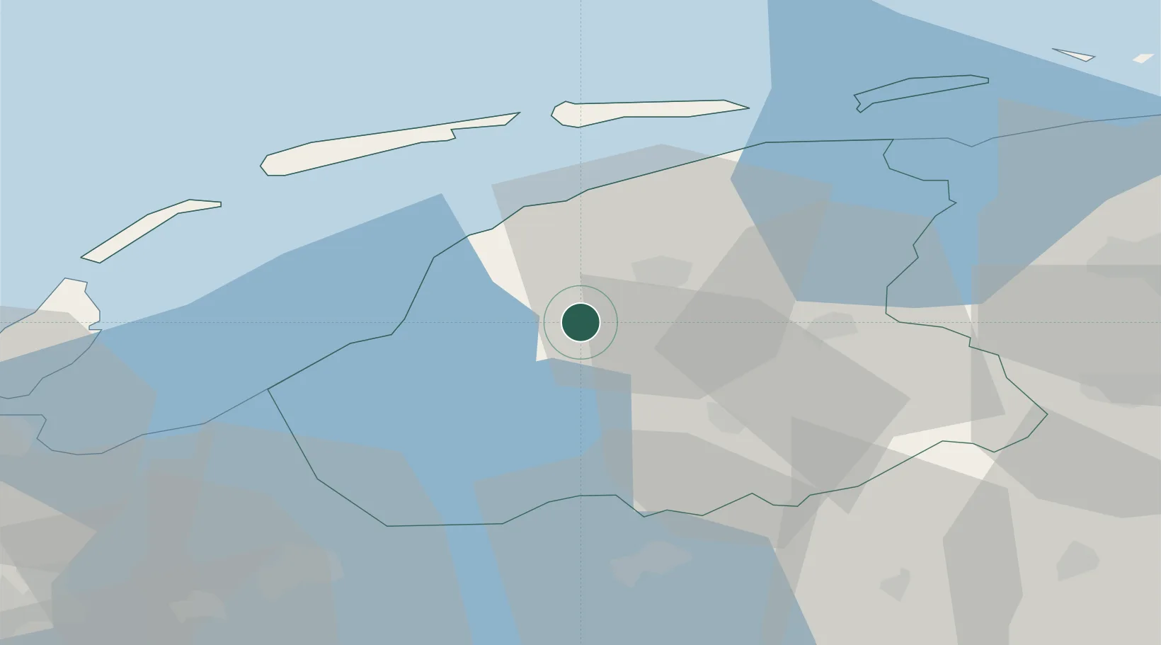
Hub Profile
Place type
Populated place
Region
Friesland
Time zone
Europe/Amsterdam
Elevation
0 m
Location
Nearby Logistics Neighbours
Cities
- 1Oosterlittens3 km
- 2Heerenveen5 km
- 3Welsrijp8 km
- 4Leeuwarden10 km
- 5Burgwerd10 km
Ports
- 1Harlingen19 km
- 2Den Helder62 km
- 3Eemshaven85 km
- 4Delfzijl87 km
- 5Zaandam95 km
Airports
- 1Leeuwarden Air Base14 km
- 2Groningen Airport Eelde60 km
- 3De Kooy Airfield / Den Helder Naval Air Station64 km
- 4Lelystad Airport75 km
- 5Borkum Airport87 km
Trade Zones
DatabookThe Record of Consolidated Knowledge
Netherlands beyond logistics?